20XX
Following almost a month in Eastern Europe, I’m so glad to be back home in New Mexico’s high country, above 4,000′ elevation, which includes much of central and western New Mexico.
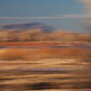
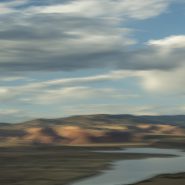
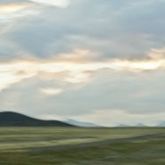
Always exhilarated by high-desert light, I’m starting off this year’s postings by re-visiting images of my favorite New Mexico locations, beginning with the Bosque del Apache National Wildlife Refuge, which is fed by the Río Grande, 150 miles south of Santa Fe. Established in 1939, this is a protected migratory stop for thousands of snow geese and upwards of 15,000 Sandhill Cranes heading south in November, then returning north beginning in February for breeding season.
Early winter light warms the soft wetlands screened by the 7,000′ Chupadera Mountains immediately to the west; as the sun clears the mountains, thousands of Snow Geese’s cacophony builds until the Sandhills too, with their six-foot wingspans, begin to lift off in twos and threes, heading for the nearby grain fields to feed for the day before returning, as the sun sets, to the wetlands’ 2-4′ of water.
So, this will be the first of the 4 Bosque del Apache favorites.


2003
Early one winter morning 14 years ago, shortly after moving to Santa Fe, amidst its wonderful high desert landscape, I was driving up Santa Fe Mountain’s west face to continue my photographic study of its extensive Aspen stands. Upon rounding a sharp curve in the road — I happened upon an astounding and sublime surprise: a “snow spiral” which apparently had formed rolling down the steep slope. Not certain what I glimpsed, I stopped to take a closer look. And having never before seen anything like it, I just had to capture it!
Nor have I ever seen anything like it since…
Enjoy! Merry Christmas


2016
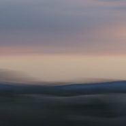
Further south in New Mexico’s high country — returning home to Santa Fe, where I have resided for the last 12 years — restraining my camera stroke enabled me to soften the the texture amongst the brighter colors…


2016
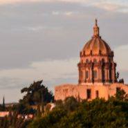
West of San Miguel de Allende, the Laja River rises in the Sierra Madre at about 6,000′ elevation, arches east and then south through the central plateau, past San Miguel de Allende, where it flows into the Lerma River.
Looking east 15 miles to San Miguel across Presa Allende Lake — created by the Ignacio Allende Dam to control Laja River flooding — offers a wonderful sense of Mexico’s central plateau high desert landscape.


2016
Often likened to our very own Santa Fe, the small colonial city of San Miguel de Allende — 170 miles NW of Mexico City — was founded as “San Miguel” in 1542 by a San Franciscan monk, San Miguel El Grande. After it became the centerpiece in the war for Mexican independence from Spain, it was renamed San Miguel de Allende after Ignacio Allende, a hero of the independence movement.
This small city of 80,000 — situated along the Grand Plateau of Mexico, at 6,000+ feet elevation, between the eastern and western branches of the Sierra Madre Mountains — still thrives as the economic and cultural soul of Mexico. Spanish conquistadors ruled while the great colonial cities of Guadalajara, Morelia, Queretaro, Mexico City and Pueblo evolved during the Spanish silver mining era, later playing pivotal roles in the Mexican fight for independence.
Situated on a steep hill, San Miguel’s El Centro opens onto a lovely plaza surrounded by wonderfully colorful facades amongst numerous exceptional churches. It’s narrow cobblestone streets complete its nearly 500 year history, preceding Santa Fe’s recently celebrated 400 year colonial history as our oldest state capital (founded in 1610, also by Spanish colonists). Although Santa Fe is 1,000′ higher than San Miguel, both benefit from year-round moderate temperatures and exceptional high desert light.


2015
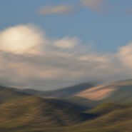
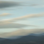
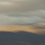
From 20 miles north of Santa Fe, my third and final series of the west face of the Sangre de Cristo mountain range. President Clinton was fond of saying, “its the economy stupid!”
Well, in photography, it’s all about the light…
On this day, the sun was “out full bore,” and because my captures were slightly earlier in the day, the sun still cleared the Jemiz Mountain range behind me; sunlight shined directly on Santa Fe Baldy, the highest peak in this section of the range. Blending the highlighted west face amongst its shadowed surroundings offered a very different series of compositions.


2015
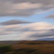
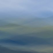
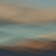
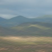
Returning to one of my favorite New Mexico palettes — just twenty miles north of my home in Santa Fe — an accessible 8,500 foot ridge offers unobstructed views across the 2-3 mile wide valley directly into the entire west face of the Blood of Christ mountain range, from its foothills all the way up and beyond its 12,000′ peaks, which are so often crowned with a continuously-modulating cloud cap as the evening light descends.
An always-varying palette of color, shadow, texture and form…


2015
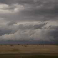
Back home from China in Santa Fe; several weeks later I drove east across the high plains of Oklahoma and the Texas panhandle before heading south to Ft. Worth to see friends. En route, I stopped to have a look at Palo Duro Canyon, situated just south of Amarillo, that claims to be the second largest canyon in the U.S. Typical spring weather — wind and furious thunderstorms across Texas’ high plains — did not disappoint.
Early Spanish Explorers discovered the area and named the canyon “Palo Duro,” Spanish for “hardwood” due to the abundant mesquite and juniper trees. Palo Duro Canyon’s elevation at its rim is 3,500 feet; it is 120 miles long, 20 miles wide, and 800 feet deep, compared to the Grand Canyon — the largest in the U.S. — which is 277 miles long, 18 miles wide, and 6,000 ft deep.
Palo Duro Canyon State Park comprises 30,000 acres at the north end of the canyon. Water erosion from the Red River deepens the canyon as it moves sediment downstream, while wind and water erosion gradually widen the canyon.
Humans have resided in the canyon for approximately 12,000 years. Nomadic tribes hunted mammoth, giant bison, and other large game. Later, Apache Indians lived in the canyon, but were soon replaced by Comanche and Kiowa tribes, who resided in the area until 1874 when Colonel Ranald Mackenzie was sent into the area to transport them to a newly appointed reservation in Oklahoma.
In 1876, Charles Goodnight entered the canyon and opened the JA Ranch, which at its peak, supported more than 100,000 head of cattle.


2014
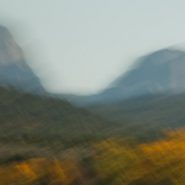
Abiquiu Lake is a reservoir located in Rio Arriba County 60 miles north of Santa Fe.
The Rio Chama was damned in 1963 to create the 5,200 acre Abiquiu Lake, which is more than 12 miles long at an elevation of 6,100 feet.
From the bluffs along the southern side of the lake, the views north of the red cliffs that frame Ghost Ranch are just beautiful. Behind (south of) the lake is the very distinctive 9,862′ mountain, Cerro Pedernal.


2014
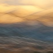
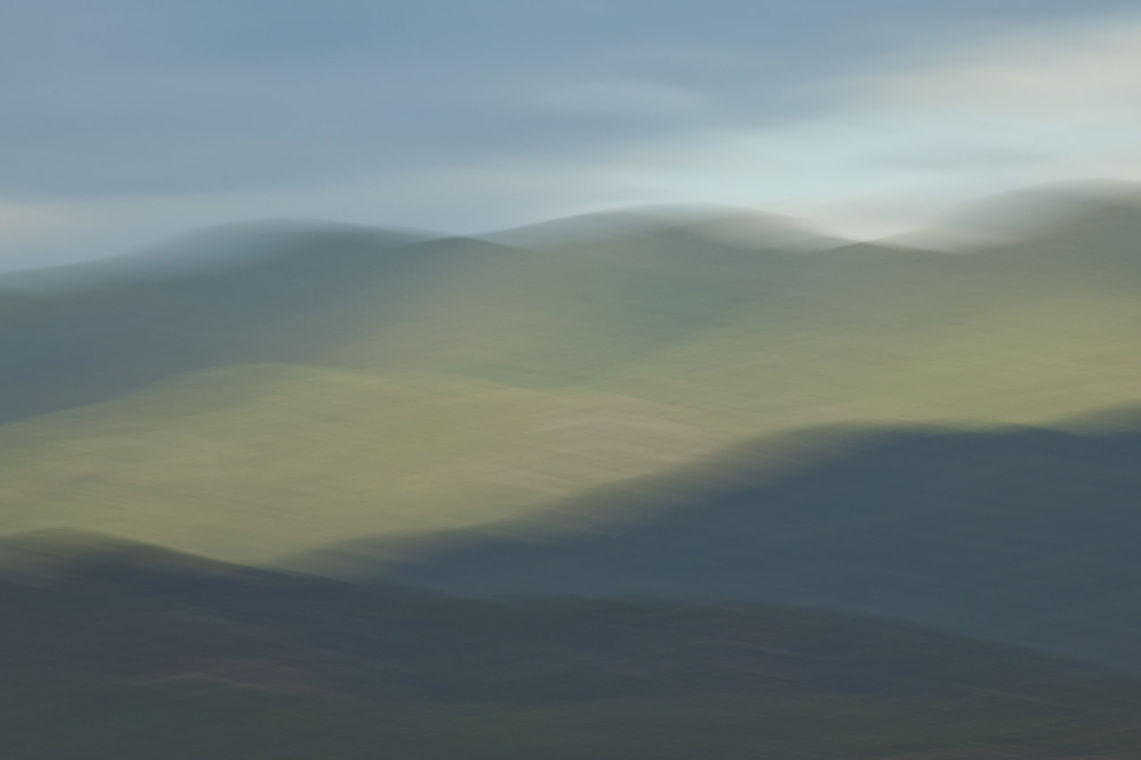
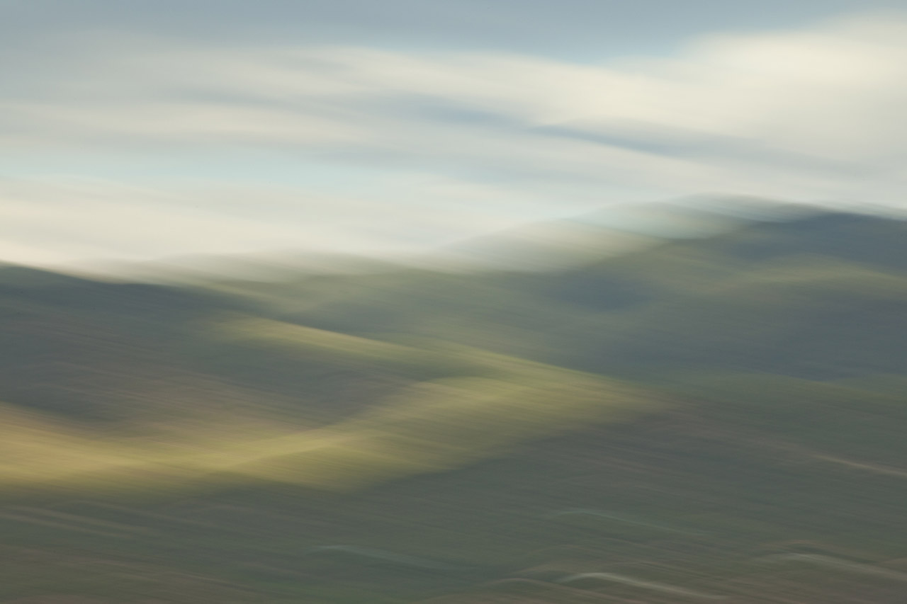
Continuing my visual exploration of the Ortiz Mountains, I have augmented each of these images with a stretched sense of the passage of time — in order to emphasize and meld the 30 million years consumed in their creation. Panning my camera of this small mountain range at shutter speeds of less than 1/15 second, takes me a step toward my own pursuit of Virtual Reality!


2013
This is my fifth extended visit to Bosque del Apache, one of my favorite locations in New Mexico, 160 miles south of Santa Fe. Created in 1939 to protect the last remaining 17 living sandhill cranes, the Bosque del Apache National Wildlife Refuge’s selective damming of an offshoot of the Rio Grande has developed into nearly 100 sq miles of managed wetlands and adjacent feeding fields, providing a critical stopover for migrating birds including ducks, hundreds of thousands of light geese, and now thousands of sandhill cranes.
In late fall, the bird migrations on their southern trek stop to rest and feed, then return again in early spring as they fly north for mating season. With the first rays of sun, thousands of light geese begin stirring, until their deafening cacophony raises them in waves upon waves, to be followed by hundreds of the much larger and more majestic sandhills in groups of 10 to 20 at a time. Since they only fly to surrounding fields to feed for the day, once the sun begins to set, the light geese and Sandhills rise again and return to the safety of adjoining marshes for the night.
Low-angled winter light on the wetlands, marshes, grain fields and surrounding mountains presents a spectacularly soft tableau.


2013
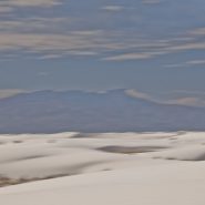
At 4,000′ elevation, the 275 square mile White Sands’ dune field comprises the world’s largest surface deposit of gypsum. Located 250 miles south of Albuquerque, and just north of the White Sands Missle Test Center, White Sands National Monument is situated in New Mexico’s Tularosa Basin between two 8-9,000′ North-South mountain ranges — the San Andreas Mountains to the west, and the Sacramento Mountains to the east.
The white gypsum sand is unlike typical desert sands made of quartz, or sand found on most beaches. Because the white gypsum reflects the sun’s rays resulting in a high rate of evaporation of surface moisture, the white gypsum sand is cool to the touch.
Because of southern New Mexico’s exceptionally clear weather, Germany trains their fighter pilots from an airbase 20 miles SE of White Sands; often they leave contrails that contrast dramatically against New Mexico’s blue, blue skies.


2013
San Luis Valley — 8,000 sq. miles, averaging 7,600′ elevation — is the largest high desert valley in North America. Situated in south central Colorado, with a small portion extending south into central New Mexico, this gradually-sloping, 122 mile long north-to-south flat basin, 74 miles wide, separates Colorado’s two largest mountain ranges – the San Juans to the west, and the Sangre de Cristos to the east.
As part of the Rio Grande Rift, San Luis Valley extends east from the Continental Divide. The Rio Grande River rises out of the eastern San Juan Mountains and flows south into New Mexico; Colorado rivers west of the Continental Divide are drained by the Colorado River. Receiving little precipitation, the San Luis Valley is comprised of desert lands; with no clear southern boundary, it is generally considered to include the San Luis Hills of southern Colorado and the Taos Plateau of northern New Mexico.
Along the eastern edge of San Luis Valley are two significant features:
Blanca Peak, at 14,351′, is the fourth highest mountain in Colorado, and the highest peak in the Sangre de Cristo Mountains. Situated at the southern end of the more extensive Sangre de Cristo Range, it is the highest peak in both ranges, and is located 20 miles east-northeast of the town of Alamosa. Blanca Peak is also the highest point of the entire drainage basin of the Rio Grande, and is higher than any point in the U.S. east of its longitude.
Fifteen miles northwest of Blanca Peak, the Great Sand Dunes National Park and Preserve is situated in the lee of the Sangre de Cristos. These sand dunes, reaching as high as 750′, are the highest in North America.


2014
The tenth and final successive exploration (at least for now) of the west face of Santa Fe Baldy’s portion of the Sangre de Cristo range, immediately north of Santa Fe.
Eight months since my last exploration, the setting sun, through clouds scattered over the Jemez range 20 miles west, slowly diffuses Santa Fe Baldy’s own atmospherics.


2013
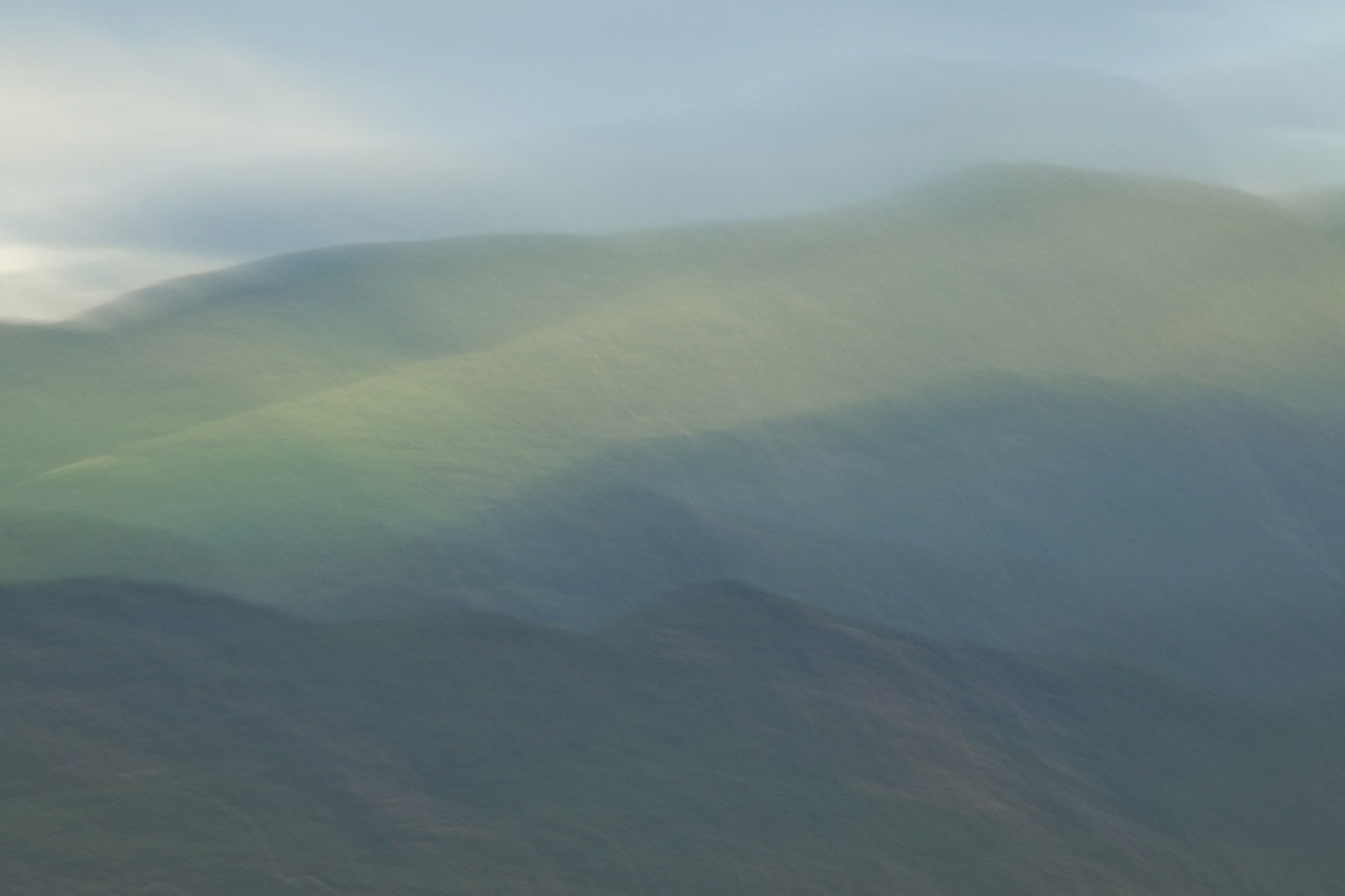
The 9th of ten successive explorations of the Santa Fe Baldy portion of the Sangre de Cristo range, immediately north of Santa Fe.
Winter’s earlier, crisper light emphasizes Santa Fe Baldy’s west face, especially when framed with low hanging clouds.


2013
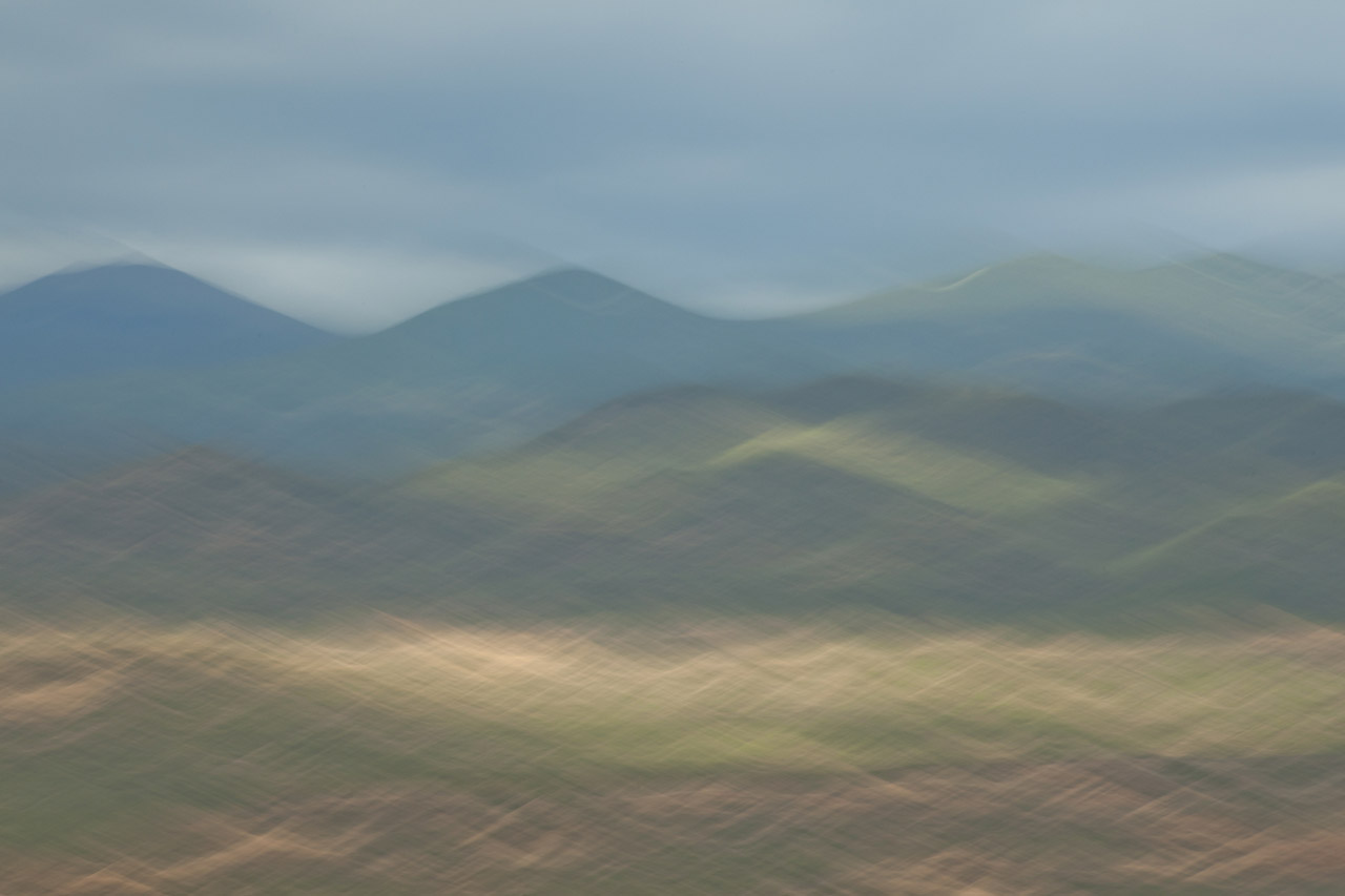
As winter sets in I continue my visual explorations of the Sangre de Cristo mountain ridge surrounding New Mexico’s 4th highest peak, Santa Fe Baldy.
Blending the snow-covered mountains’ more subtle palette allows for a very different interpretation…


2013
Continuing my visual explorations just north of Santa Fe, as the weather turns, the contrast of light, clouds and first snow intensifies against the 12,000′ Sangre de Cristo mountain ridge that surrounds New Mexico’s 4th highest peak, Santa Fe Baldy.
In turn, this further reduction of my blended elements to three emphasizes how I see and interpret this landscape.


2013
I’m now half-way through introducing the results of my visual exploration of the 12,000′ Sangre de Cristo mountain ridge clustered around Santa Fe Baldy, New Mexico’s 4th highest peak, just north of Santa Fe.
Reducing the variables in each image – shooting from the same location, and at nearly the same time – reveals not only what I am seeing, but how I am seeing. Blending my motion-strokes against the mountain tops emphasizes the light’s particular hue, and how that hue casts upon Santa Fe Baldy.
2013
This is the fifth of ten successive explorations of light’s effect on the Santa Fe Baldy portion of the Sangre de Cristo mountain range, just north of Santa Fe. At 12,632′ elevation, Santa Fe Baldy is especially susceptible to ‛nearly last light,’ particularly when nearby clouds take on hues that compliment the mountain peak.


2013
Taos and Santa Fe are both situated in north central New Mexico along the western edge of the Sangre de Cristo (Spanish for Blood of Christ) Mountain Range, which comprises the most southern subrange of the Rocky Mountains. Lying just east of the Rio Grande, both towns are at about 7,000′ elevation.
Santa Fe (69,000 pop.), New Mexico’s state capitol, is located 50 miles north of Albuquerque, with Taos (5,700 pop.) situated 70 miles further north..
The third and fourth highest mountains in New Mexico, 20 miles north of Santa Fe, are Truchas Peak (13,108′), and Santa Fe Baldy (12,632′), while immediately north of Taos, New Mexico’s two highest mountains are Wheeler Peak (13,167′), and Mount Walter (13,133′).


