2015
Hong Kong began in the 1800s as a small fishing village, but gained importance as a port of transfer when the British began shipping opium to China. During the First Opium War (1839-42), it became a British colony with the cessation of Hong Kong Island in 1841, followed by the Kowloon Peninsula in 1860, and a 99-year lease of the New Territories in 1898.
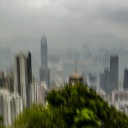
Hong Kong and its 260 territorial islands are situated in the South China Sea, at the mouth of the Pearl River Delta. It is comprised of three main territories – Hong Kong Island, Kowloon Peninsula, and the New Territories – all of which were peacefully handed back to China in 1997. In 2009, Hong Kong was deemed a special Administrative Region (SAR) of China, abiding by the credo “one country, two systems.”
The name “Hong Kong” literally means “fragrant harbour”, emanating from the area around present-day Aberdeen at the south end of Hong Kong Island where fragrant wood products and incense were once traded. Victoria Harbor, the narrow body of water separating Hong Kong Island and Kowloon Peninsula, is renowned for being one of the deepest natural maritime ports in the world.
Hong Kong’s impressive skyline houses a current population of 7.4 million and boasts the second largest number of hi-rises of any city in the world.
Although suffering from much of the pervasive air pollution of mainland China, Hong Kong is blessed with sufficient ocean breezes to allow it a fair amount of direct sunlight and therefore visual contrast.


2015
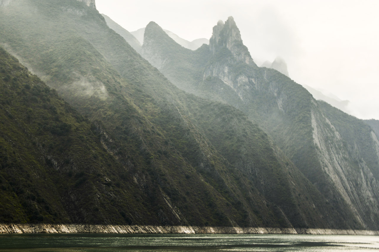
The Li River originates out of the Mao’er Mountains in northern Guangxi Zhuang, an Autonomous Region (county) in south central China, bordering Vietnam. The Li River flows south past the cities of Guilin, Yangshou before merging at Pingle, with the Lipu and Gongcheng Rivers, that continue southeast as the Gui River that empties into the Xi Jiang River, a western tributary of the Pearl River, in Wuzhou, where it flows south and just west of Guangzhou (Canton), into the South China Sea.
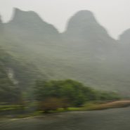
Guilin is famous for its surrounding Karst topography; shaped by the erosion of limestone (also known as chalk or calcium carbonate) some 250 million years ago, it is a soft rock that dissolves in water; as rainwater seeps into the rock, it slowly erodes. Karst landscape can be worn away from the top or dissolved from a weak point inside the rock, creating caves, underground streams, and sinkholes on the surface. Where erosion has worn away the land above ground, steep rocky cliffs are visible.
Guilin is part of a larger karst landscape — South China Karst — which spreads across the Chinese provinces of Guangxi, Guizhou, and Yunnan.
Such spectacular formations, but no blue sky… Even in this relatively rural area, the smog is very thick, thereby eliminating almost all direct sunlight, and therefore contrast!


2015
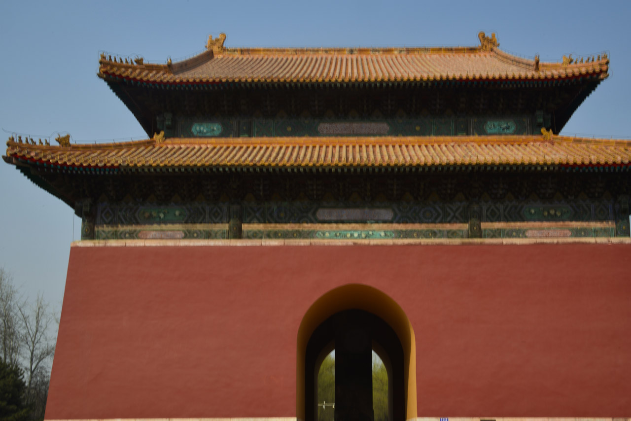
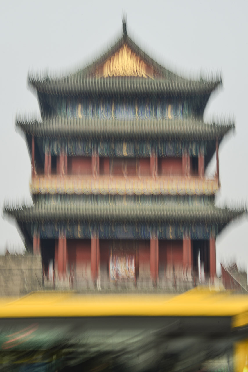
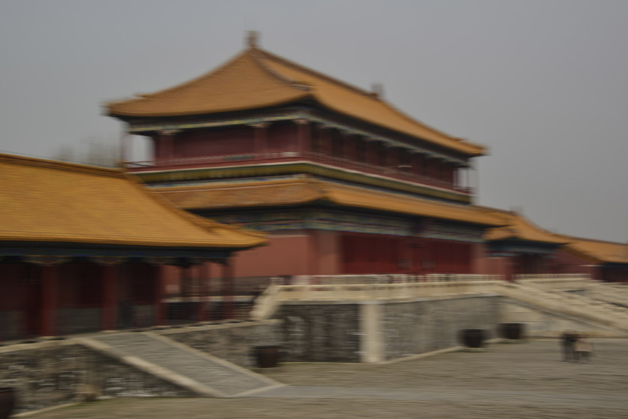
Today, China’s capital city, Beijing has a population of 21 million. Within the center of Beijing, The Forbidden City was the Chinese imperial palace for 500 years — from the Ming Dynasty to the end of the Qing dynasty (1412 to 1912).
Consisting of 980 buildings covering 180 acres, the palace complex exemplifies traditional Chinese palatial architecture; and served as the home of emperors and their households as well as the ceremonial and political center of Chinese government.
Listed by UNESCO as the largest collection of preserved wooden structures in the world, The Forbidden City houses the Palace Museum, which is the most visited museum in the world, with more than 14 million annual visitors.
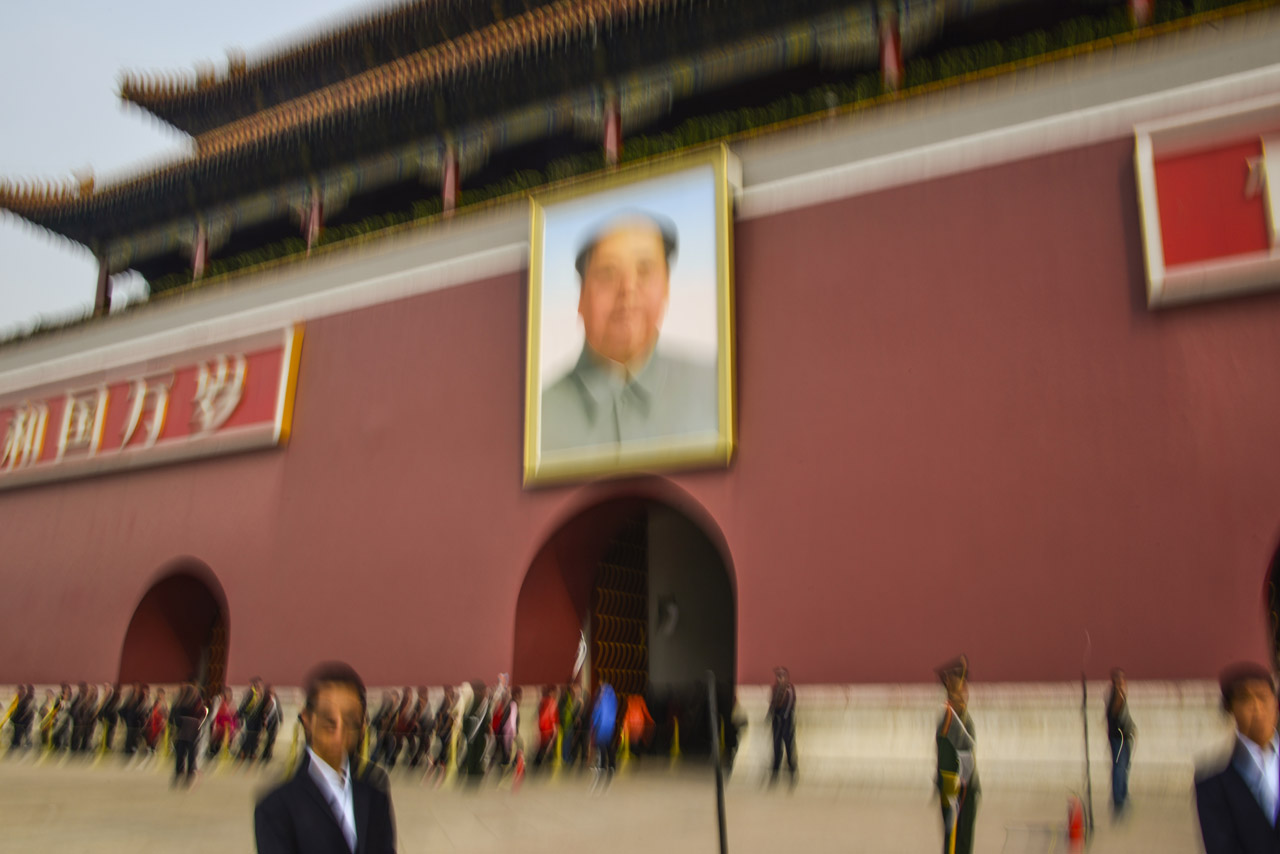
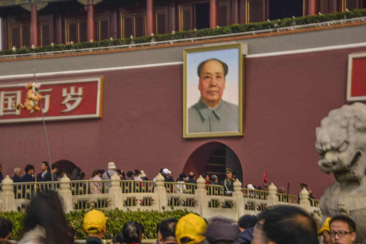
The Forbidden City is surrounded on three sides by imperial gardens; to the south are two important shrines, and two identical gatehouses. The more famous Tiananmen Gate, is decorated with a portrait of Mao Zedong and two placards: “long Live the People’s Republic of China” and “long live the Great Unity of the World’s peoples”. The Tinanmen Gate connects the Forbidden City precinct with the modern, symbolic center of the Chinese state, Tiananmen Square.
2015
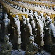
The Terracotta Army is a collection of terracotta sculptures depicting the armies of Qin Shi Huang, the first Emperor of China. It is a form of funerary art buried with the emperor in 210-209 BCE and whose purpose was to protect the emperor in his afterlife.
The figures, dating from about the late third century BCE, were discovered in1974 by local farmers in Xi’an, Shaanxi province. Varying in height according to their roles, with the tallest being the generals, the figures include warriors, chariots and horses. Estimates were that the three pits containing the army contained more than 8,000 soldiers, 130 chariots with 520 horses, most of which remained buried in the pits nearby Qin Shi Huang’s mausoleum. A large structure has been built to cover the excavated pits containing the soldiers.
The Terracotta Army has become one of China’s most visited attractions.


2015
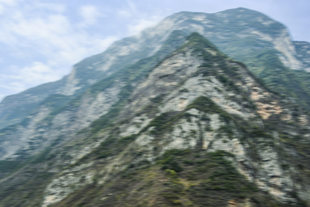
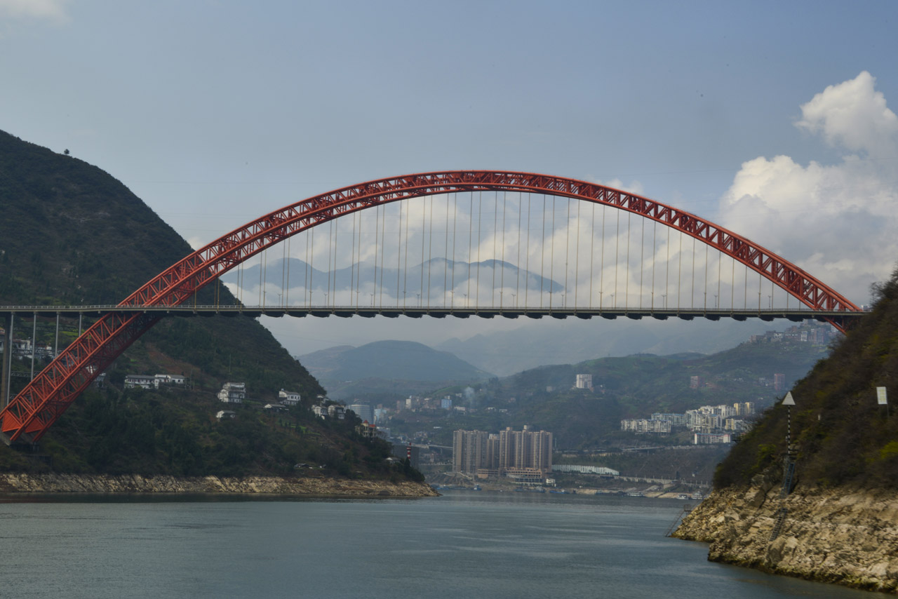
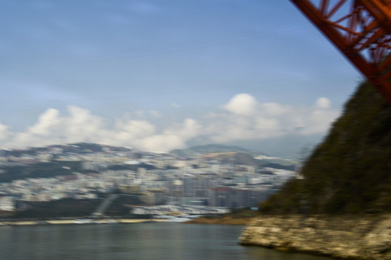
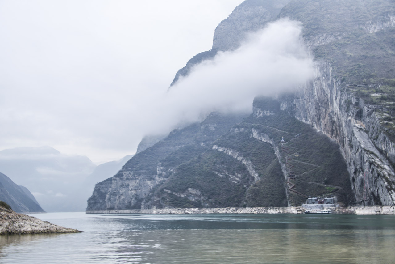
For nearly 4,000 miles, The Yangtze River, together with its 700 tributaries, is China’s largest water system and is historically, economically and culturally critical to the Earth’s most populated country. Flowing out of the barren snowfields of western Tibet, the Yangtze River begins on the Qinghai-Tibet Plateau, where it is fed by glaciers in The Tanggula Mountain Range (highest peak, Geladandong, at 21,722 feet) in far western China and loops far south and then east through eight provinces — Sichuan, Yunnan, Chongqing, Hubei, Hunan, Jiangxi, Anhui, and Jiangsu — and just north past Shanghai into the East China Sea.
The Yangtze River is the third longest in the world — after the Nile and the Amazon — and the busiest river in Asia. The Yangtze River Basin comprises an enormous granary for China. Major cities on the Yangtze River, from west, south and east, are Chongqing, Yichang, Wuhan, Nanjing and Shanghai. And its just-completed Three Gorges Dam is the largest dam in the world.
2015
Suzhou is one of eight ancient Watertowns near Shanghai. Each is surrounded by canal-fed lakes drawn from the Yangtze River. Some parts of these towns are as old as 2,000 years.
Surrounded by 5 lakes, Suzhou is a gem of traditional architecture in a harmonious and lovely setting.


