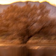
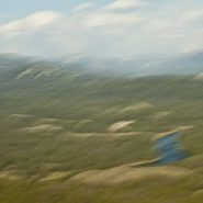
2011/2013
New Mexico’s Bosque del Apache (Spanish for Woods of the Apache) is located 90 miles south of Albuquerque, along the Rio Grande. In 1939, this tiny high desert wetland National Wildlife Refuge was created to protect the endangered Sandhill Cranes heading down the continent ahead of winter in November, as well as on their return North in February and March for breeding season.
Bosque de Apache has been expanded considerably over the last 80 years, and now serves as a migratory layover for hundreds of thousands of snow geese, 10,000-15,000 Sand Hill Cranes, plus a wide assortment of other migratory fowl.
Each November Bosque del Apache celebrates the ‘Return of the the Sandhills.’


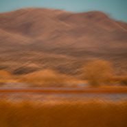
2011
New Mexico’s Bosque del Apache (Spanish for Woods of the Apache) is located 90 miles south of Albuquerque, along the Rio Grande. Established in 1939, this tiny high desert wetland National Wildlife Refuge was created to protect the endangered Sandhill Cranes heading down the continent ahead of winter in November; and again on their return North in February and March for breeding season.
Eighty years later, Bosque de Apache has been enlarged considerably, and now serves as a migratory resting place for hundreds of thousands of snow geese, 10-15,000 Sandhill Cranes, and a wide assortment of other migratory fowl. Now each November is known for the ‘Return of the of the Sandhills Celebration.’


2017
As the sun sets, Budapest’s Danube waterfront comes alive. Lights along its vast collection of memorial buildings and bridges announce and enhance this beautiful city’s main thoroughfare…


2017
Pest-Buda became a global city with the unification of Buda, Obuda, and Pest in 1873, with the name “Budapest” given to the new capital. Budapest also became the co-capital of the Austro-Hungarian Empire, a great power that dissolved in 1918, following WWI.
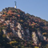
Upon entering Budapest from the south is the Statue of Liberty perched on top of Gellert Hill. First erected in 1947 in remembrance of the Soviet liberation of Hungary from Nazi forces during WWII, the 14 meter tall bronze statue stands atop a 26 meter pedestal holding a palm leaf.
Views of Budapest, overlooking the Danube River which runs North-South, separating what was once known as Pest along the west side of the Danube, and Buda, on the east side of the Danube. The hills on both sides of the Danube provide wonderful panoramics of the city. The Danube, located in Central and Eastern Europe, is Europe’s Second longest river after the Volga.
The House of Houdini memorializes Harry Houdini’s 1874 birth in Budapest. Upon immigrating to the U.S., he became a famous illusionist, known especially for his sensational escape artistry.


2015
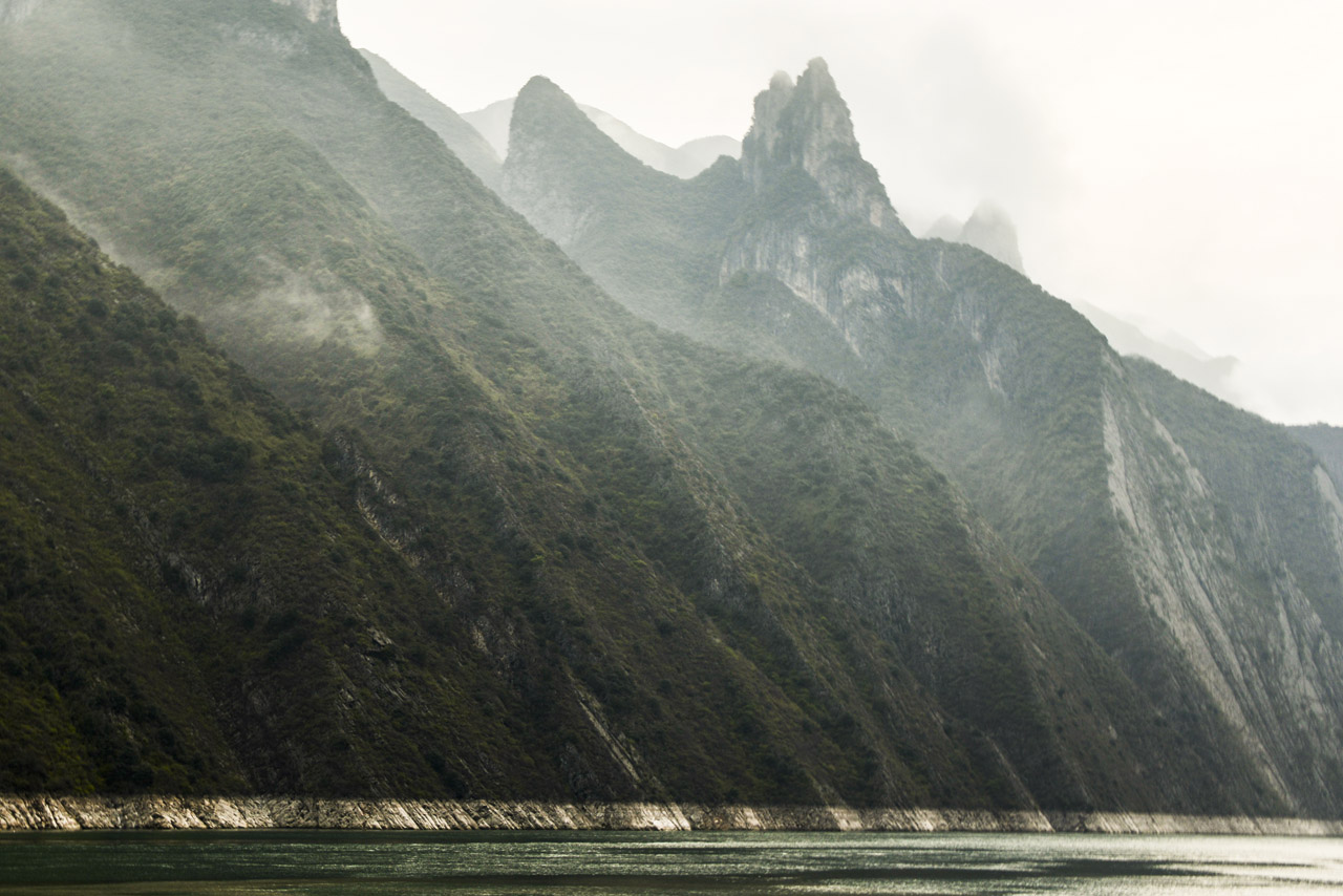
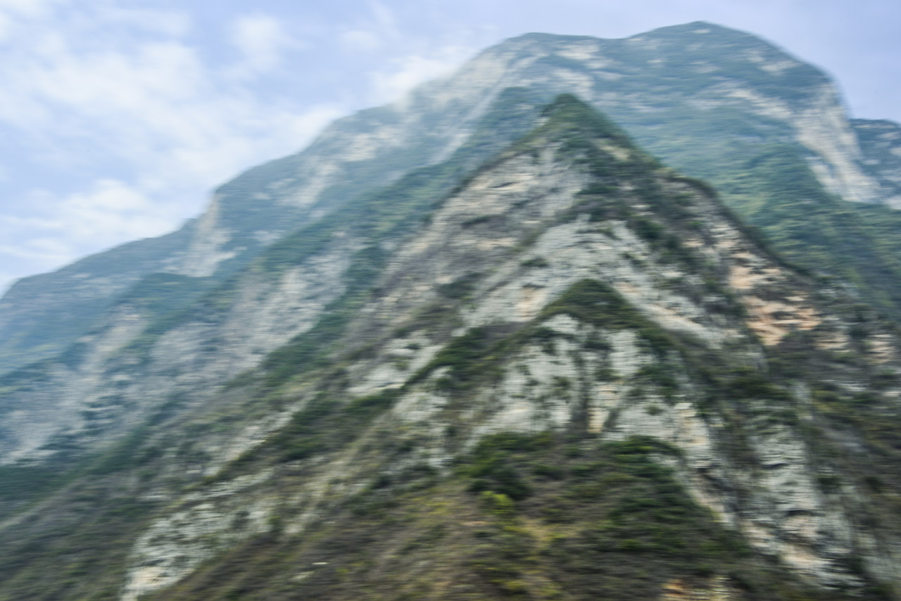
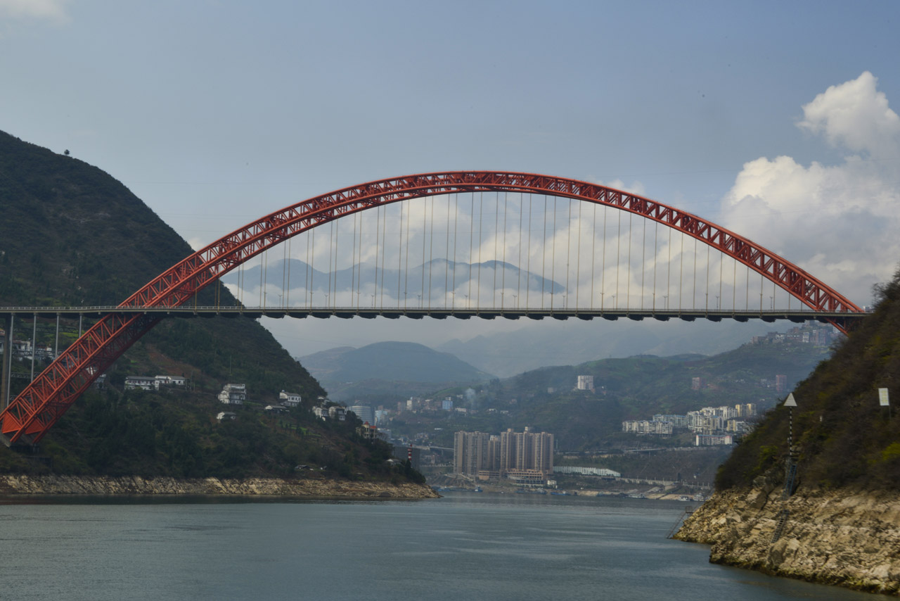
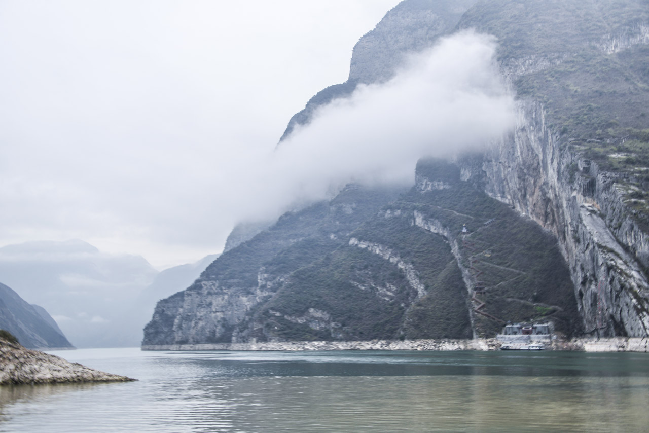
For nearly 4,000 miles, The Yangtze River, together with its 700 tributaries, is China’s largest water system and is historically, economically and culturally critical to the Earth’s most populated country. Flowing out of the barren snowfields of western Tibet, the Yangtze River begins on the Qinghai-Tibet Plateau, where it is fed by glaciers in The Tanggula Mountain Range (highest peak, Geladandong, at 21,722 feet) in far western China and loops far south and then east through eight provinces — Sichuan, Yunnan, Chongqing, Hubei, Hunan, Jiangxi, Anhui, and Jiangsu — and just north past Shanghai into the East China Sea.
The Yangtze River is the third longest in the world — after the Nile and the Amazon — and the busiest river in Asia. The Yangtze River Basin comprises an enormous granary for China. Major cities on the Yangtze River, from west, south and east, are Chongqing, Yichang, Wuhan, Nanjing and Shanghai. And its just-completed Three Gorges Dam is the largest dam in the world.

2013
The Snake River’s headwaters are formed at the consolidation of three tiny streams, at an elevation of nearly 9,000′, on the southwest flank of Two Oceans Plateau situated in western Wyoming’s portion of Yellowstone National Park.
Flowing south through Jackson Lake, the ninth longest river in the US continues on south through Jackson Hole valley between the Tetons and Wind River Range, before making a large western sweep through southern Idaho’s Snake River Canyon, and then northwest through Oregon and Washington, where it becomes the Columbia River’s largest tributary, as well as the largest North American river to empty into the Pacific Ocean.
Looking east from the Tetons – the Snake continues its 1,078 mile journey to the Pacific — between the Tetons and The Wind River Range — as it flows south through Jackson Hole.


2013
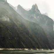
Originally referred to as the East Fork of the Yellowstone River, the 40 mile long Lamar River rises out of the Absaroka Range along the eastern border of Yellowstone National Park, and meanders northwest and then west to where it flows into the Yellowstone River south of the Montana Border. The wide, expansive Lamar Valley is home to bison, elk, coyote, grizzly and wolf.
In 1995, wolves were re-introduced in the northeast corner of Yellowstone Park along the Lamar River at Soda Butte, Crystal Creek and Rose Creek.


