2015
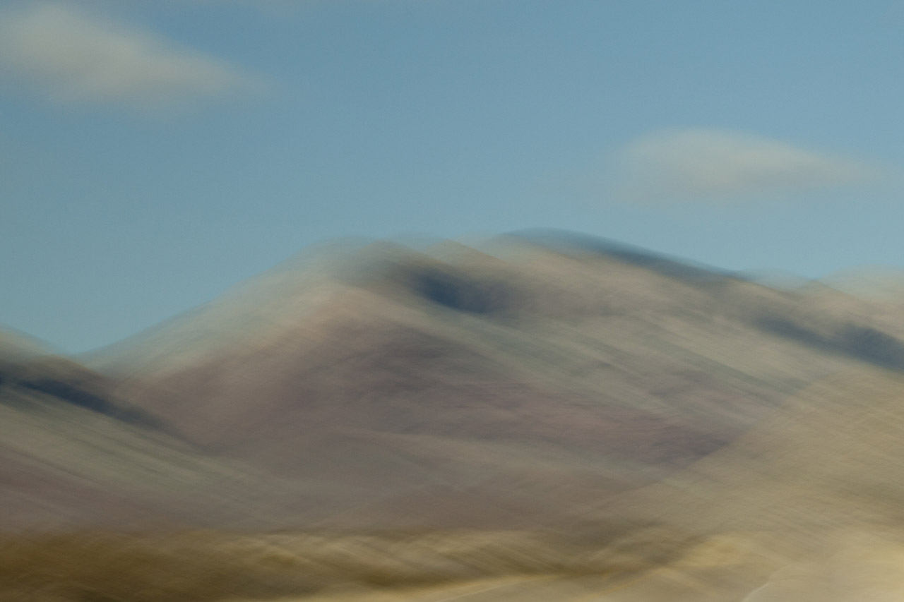
Back home from China in Santa Fe; several weeks later I drove east across the high plains of Oklahoma and the Texas panhandle before heading south to Ft. Worth to see friends. En route, I stopped to have a look at Palo Duro Canyon, situated just south of Amarillo, that claims to be the second largest canyon in the U.S. Typical spring weather — wind and furious thunderstorms across Texas’ high plains — did not disappoint.
Early Spanish Explorers discovered the area and named the canyon “Palo Duro,” Spanish for “hardwood” due to the abundant mesquite and juniper trees. Palo Duro Canyon’s elevation at its rim is 3,500 feet; it is 120 miles long, 20 miles wide, and 800 feet deep, compared to the Grand Canyon — the largest in the U.S. — which is 277 miles long, 18 miles wide, and 6,000 ft deep.
Palo Duro Canyon State Park comprises 30,000 acres at the north end of the canyon. Water erosion from the Red River deepens the canyon as it moves sediment downstream, while wind and water erosion gradually widen the canyon.
Humans have resided in the canyon for approximately 12,000 years. Nomadic tribes hunted mammoth, giant bison, and other large game. Later, Apache Indians lived in the canyon, but were soon replaced by Comanche and Kiowa tribes, who resided in the area until 1874 when Colonel Ranald Mackenzie was sent into the area to transport them to a newly appointed reservation in Oklahoma.
In 1876, Charles Goodnight entered the canyon and opened the JA Ranch, which at its peak, supported more than 100,000 head of cattle.


2013
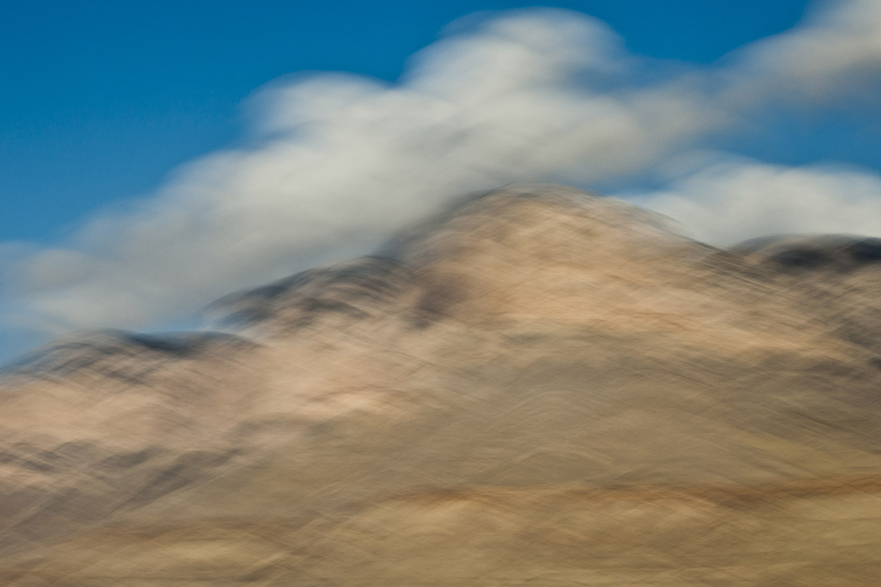
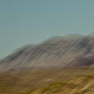
The lovely Christmas Mountains run east-west, just north of Big Bend National Park. Their highest peak is 5,728′. The Chihuahuan Desert’s blended colored texture provides a perfect platform for the Christmas Mountains’ distant march. Then, farther east and slightly south, just inside Big Bend National Park, I encountered the wonderfully contrasting Rosillos Peak.
How scale alters texture, and color!


2013
Stretching over 1,000 miles, the Rio Grande/Rio Bravo forms the international boundary between the United States and Mexico. Named for the southernmost 118 mile U-shaped bend in the Rio Grande, Big Bend National Park’s 1,250 sq. miles means it is larger than the state of Rhode Island.
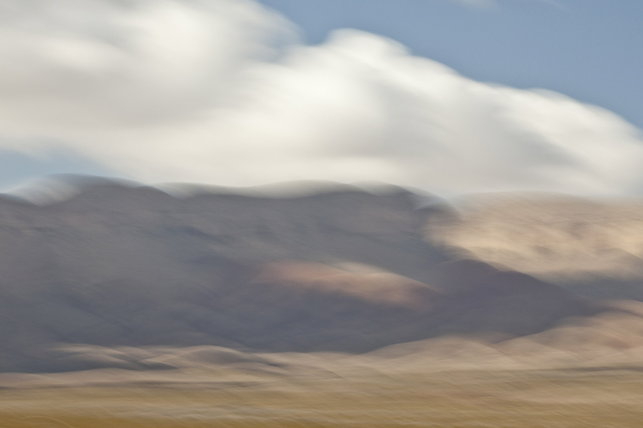
Lying in a southwest – northeast axis, the 20 mile long Chisos Mountain range is the furthest southern mountain range in the U.S. Its 7,835′ Emory Peak is the highest of its four peaks that exceed 7,000′.
The Chisos Mountains, initially amongst a surrounding lowland formed some 66 million years ago, was uplifted 30 million years later. Followed by very active volcanism, the high basalt content offers a wide range of beautifully subtle hued formations.
I found I just couldn’t resist the texture, color and shape of the Chisos Mountains basalt formations…


2013
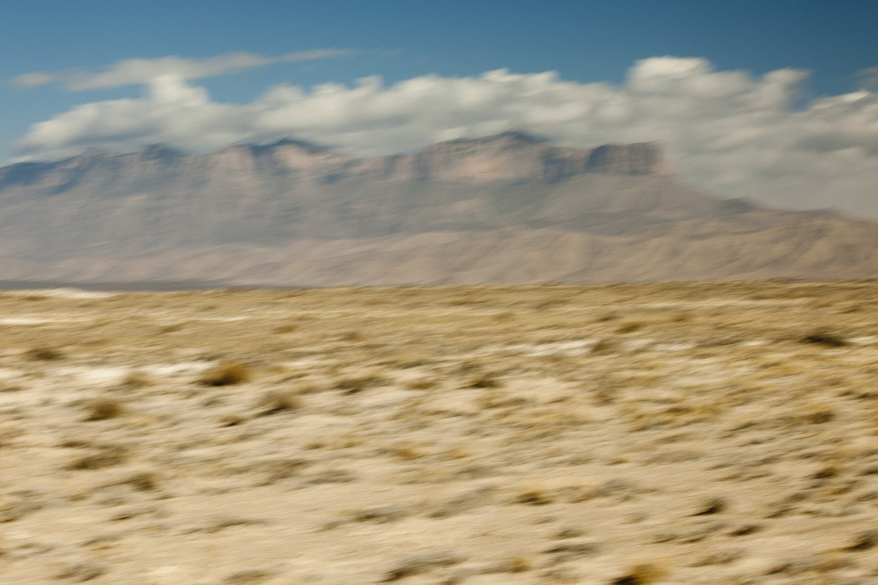
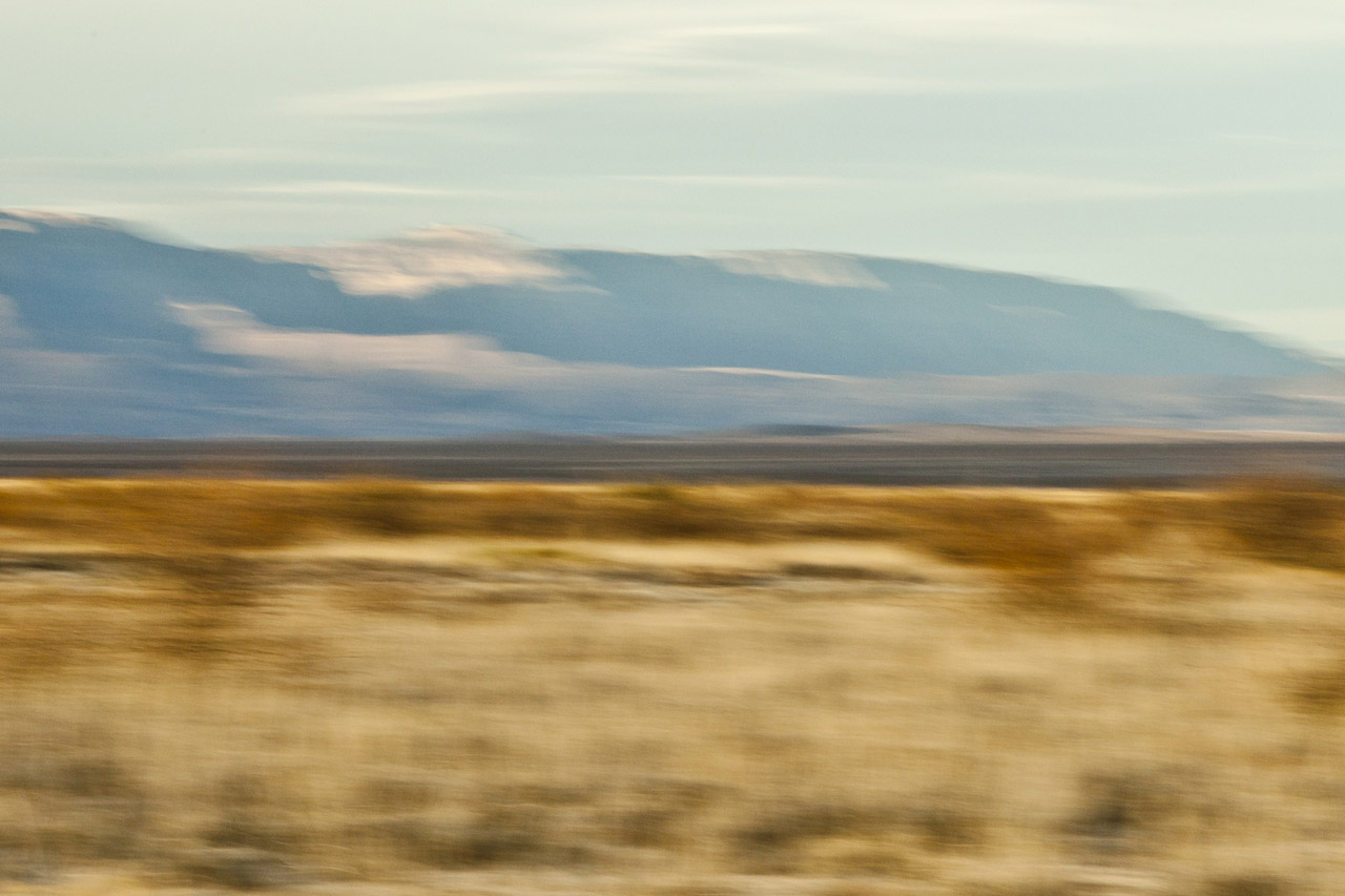
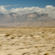
Heading south from Carlsbad Caverns across New Mexico’s southern border with Texas, along side Guadalupe National Park’s 8,749′ Guadalupe Mountain, the highest point in Texas stands stark against the flat landscape of the Chihuahuan Desert .
250 million years ago, all of the continents were joined together forming the supercontinent Pangea, which was surrounded by a great ocean. Of the three arms of The Permian Basin – the Marfa, Delaware and Midland basins – the Delaware Basin contained the Delaware Sea over what is now Western Texas and Southeastern New Mexico.
170 million years later, tectonic compression along the western margin of North America caused the region encompassing west Texas and southern New Mexico to slowly uplift. Then 60 million years later a transition in tectonic events initiated the formation of steep faults along the western side of the Delaware Basin. Movement along these faults forced a long-buried portion of the Capitan Reef to rise several thousand more feet. Erosion uncovered the more resistant fossil reef forming the modern Guadalupe Mountains, which now tower above the desert floor as it once loomed over the floor of the Delaware Sea.
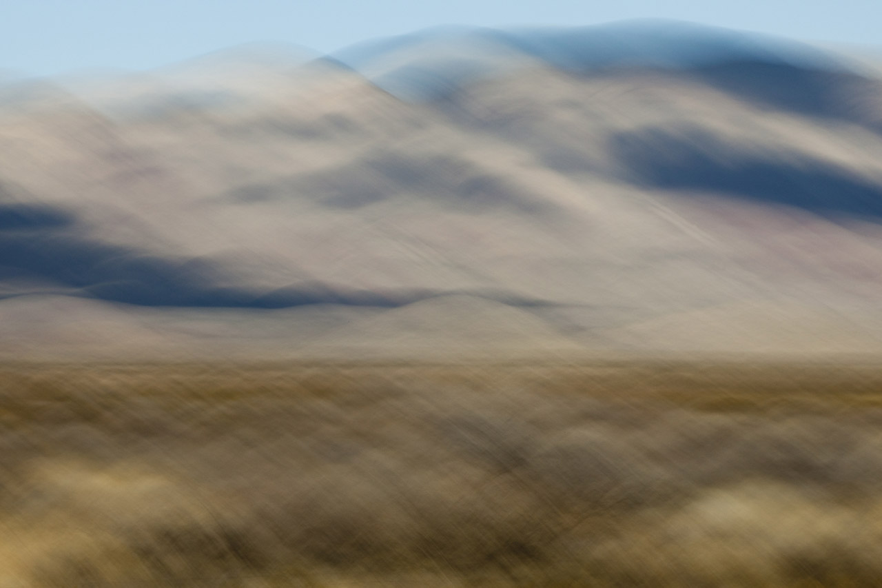
Continuing south beyond the Guadalupe Mountains, TX #54 meanders between two distant lesser mountain ranges, which contrasted against the Chihuahuan Desert, reveal beautifully subtle profiles of the Sierra Diegas to the east, and the Sierra Diablos to the west. Their soft colors are further muted by deceptive distance. As a photographer, I’m forever seeking contrasts in shape, color, texture, and distance, that the sunlight’s direction will further emphasize either through highlighting color hues and/or through the creation of shadow patterns.