2015
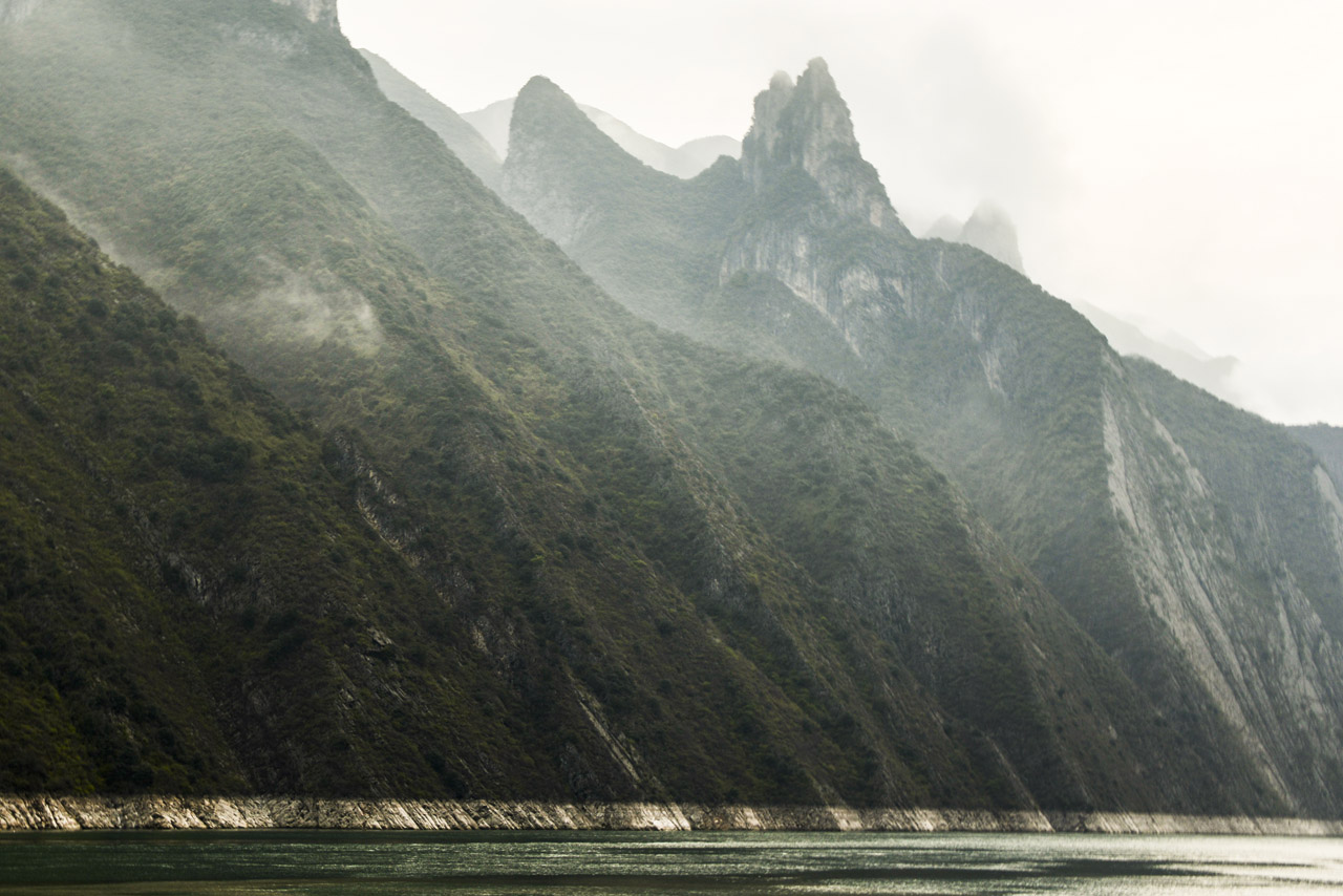
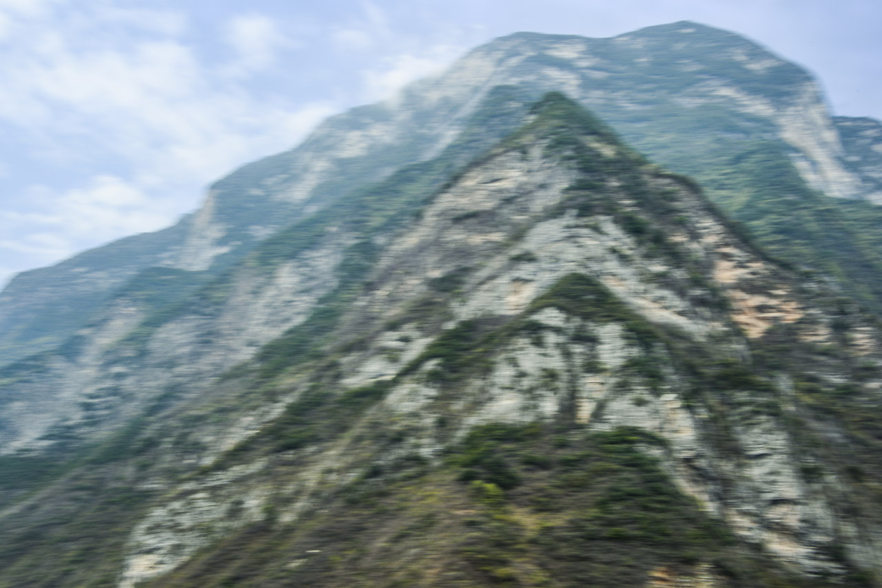
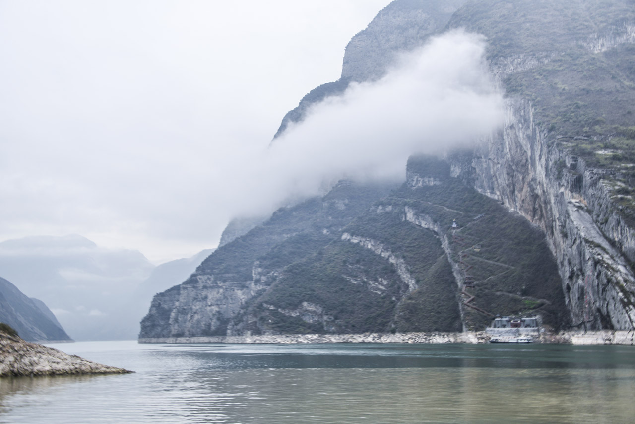
For nearly 4,000 miles, The Yangtze River, together with its 700 tributaries, is China’s largest water system and is historically, economically and culturally critical to the Earth’s most populated country. Flowing out of the barren snowfields of western Tibet, the Yangtze River begins on the Qinghai-Tibet Plateau, where it is fed by glaciers in The Tanggula Mountain Range (highest peak, Geladandong, at 21,722 feet) in far western China and loops far south and then east through eight provinces — Sichuan, Yunnan, Chongqing, Hubei, Hunan, Jiangxi, Anhui, and Jiangsu — and just north past Shanghai into the East China Sea.
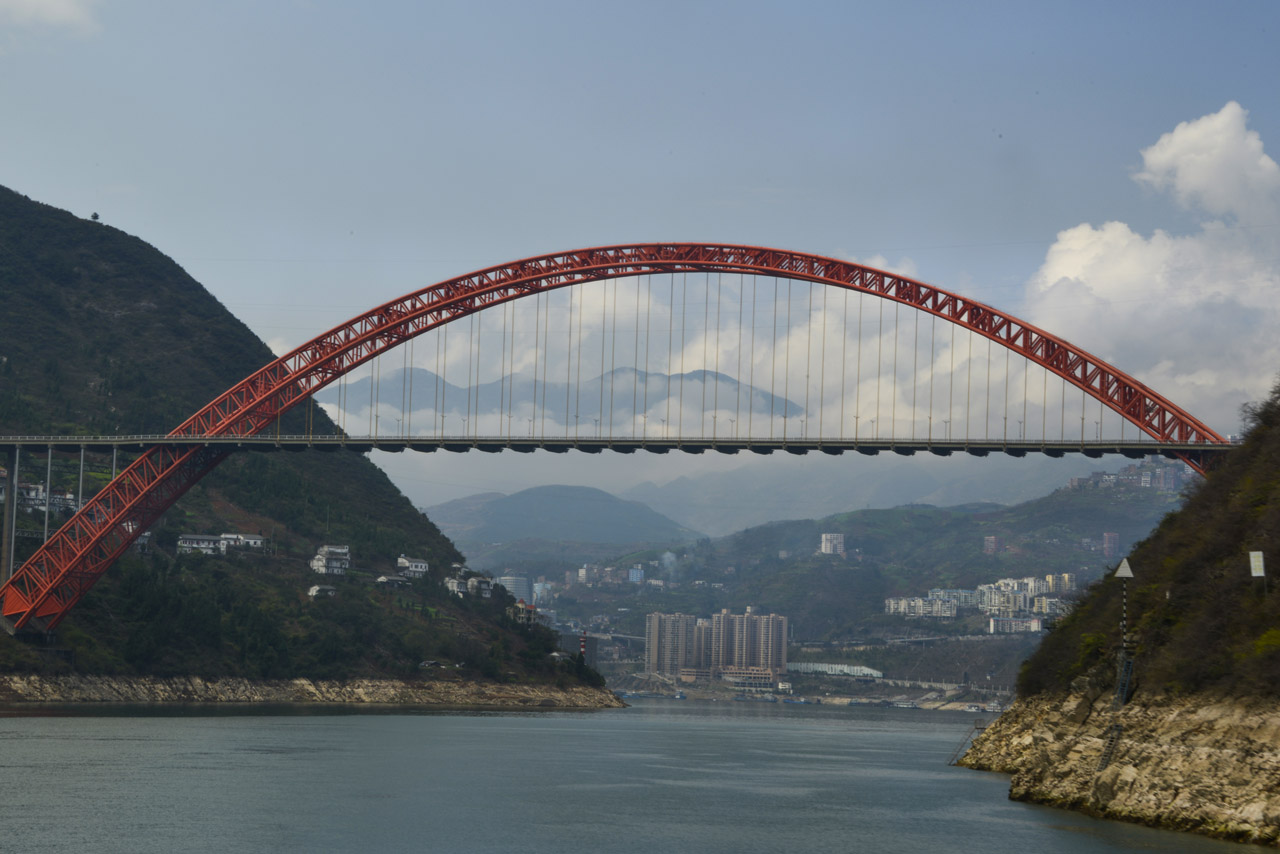
The Yangtze River is the third longest in the world — after the Nile and the Amazon — and the busiest river in Asia. The Yangtze River Basin comprises an enormous granary for China. Major cities on the Yangtze River, from west, south and east, are Chongqing, Yichang, Wuhan, Nanjing and Shanghai. And its just-completed Three Gorges Dam is the largest dam in the world.