Author: Gunnar Tags: high desert, Mexico, panoramic, Western Landscapes
2016
West of San Miguel de Allende, the Laja River rises in the Sierra Madre at about 6,000′ elevation, arches east and then south through the central plateau, past San Miguel de Allende, where it flows into the Lerma River.
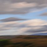
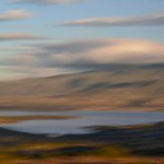
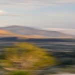
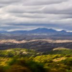
Looking east 15 miles to San Miguel across Presa Allende Lake — created by the Ignacio Allende Dam to control Laja River flooding — offers a wonderful sense of Mexico’s central plateau high desert landscape.
GUNNAR PLAKE
Santa Fe, NM
www.gunnarplakephotography.com
[email protected]
© 2026 Gunnar Plake. All Rights Reserved.

