2014
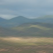
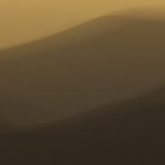
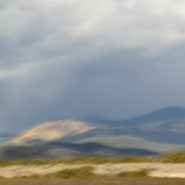
The tenth and final successive exploration (at least for now) of the west face of Santa Fe Baldy’s portion of the Sangre de Cristo range, immediately north of Santa Fe.
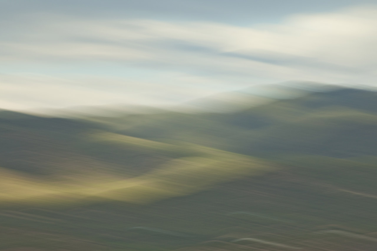
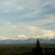
Eight months since my last exploration, the setting sun, through clouds scattered over the Jemez range 20 miles west, slowly diffuses Santa Fe Baldy’s own atmospherics.


2013
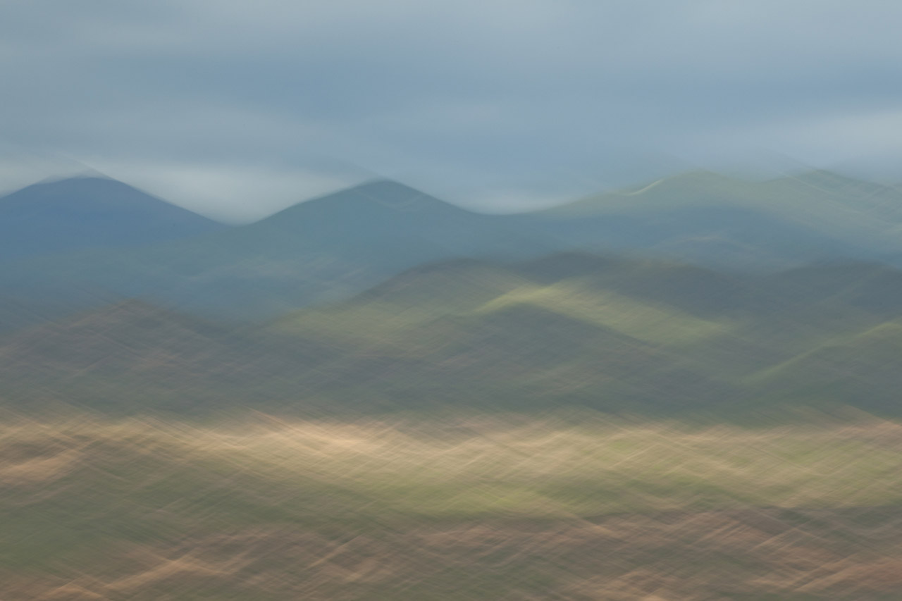
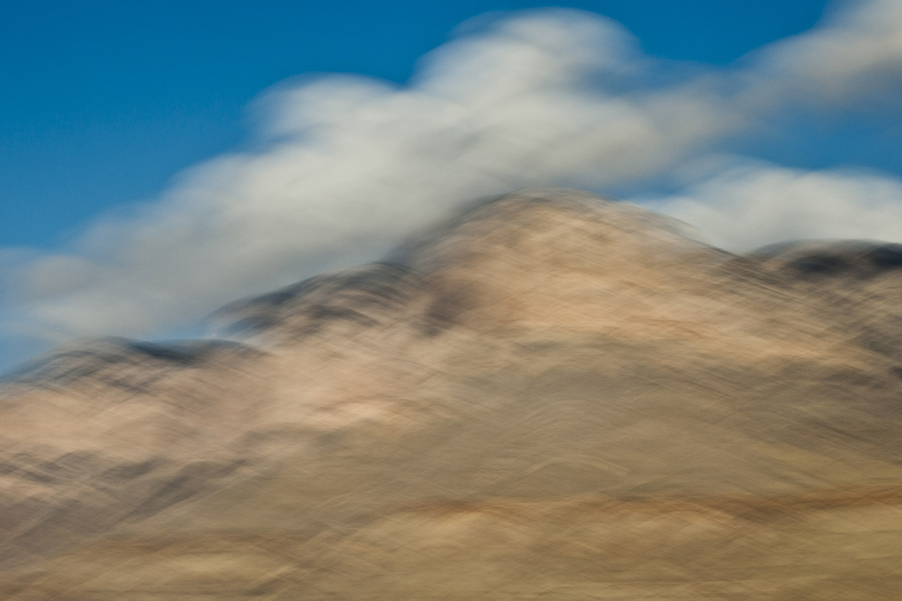
The 9th of ten successive explorations of the Santa Fe Baldy portion of the Sangre de Cristo range, immediately north of Santa Fe.
Winter’s earlier, crisper light emphasizes Santa Fe Baldy’s west face, especially when framed with low hanging clouds.


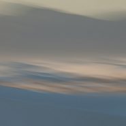
2013
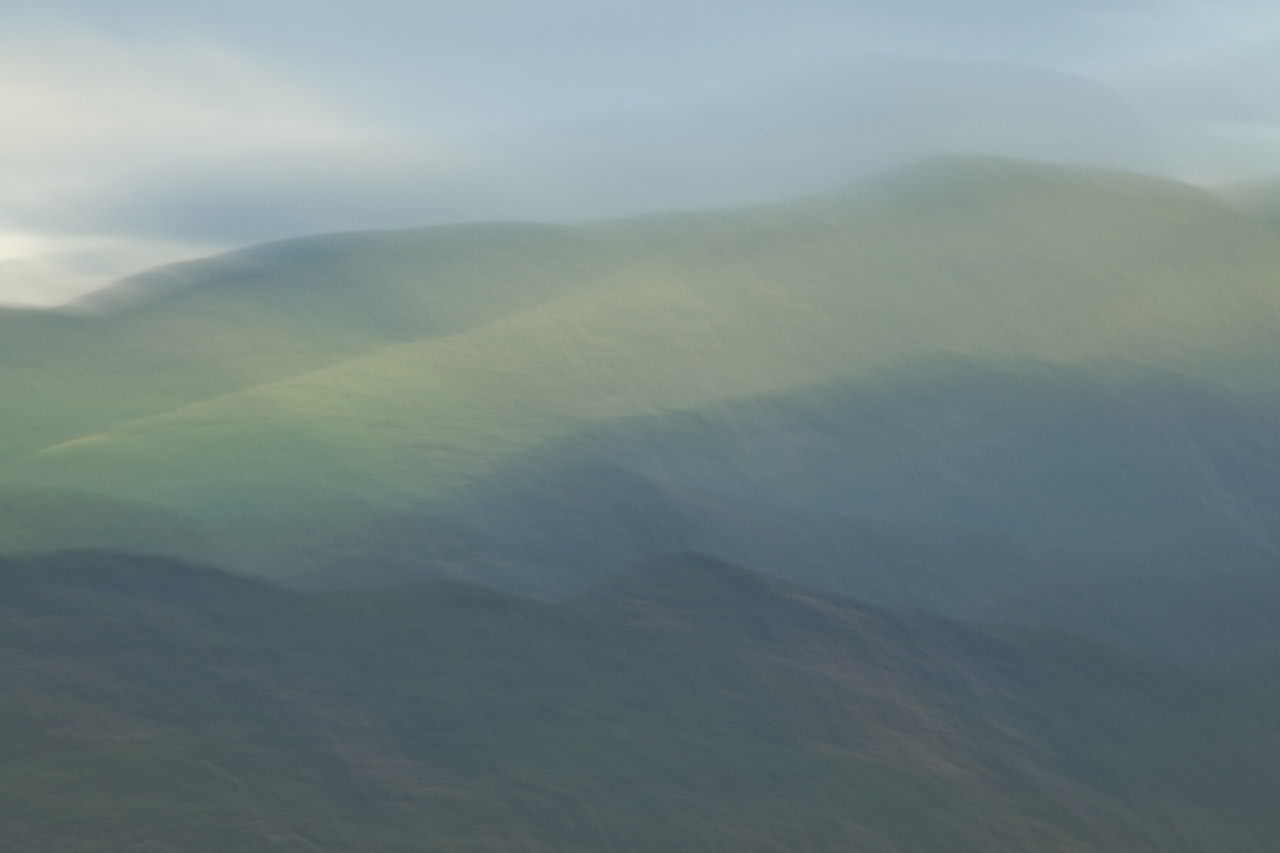
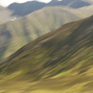
As winter sets in I continue my visual explorations of the Sangre de Cristo mountain ridge surrounding New Mexico’s 4th highest peak, Santa Fe Baldy.
Blending the snow-covered mountains’ more subtle palette allows for a very different interpretation…


2013
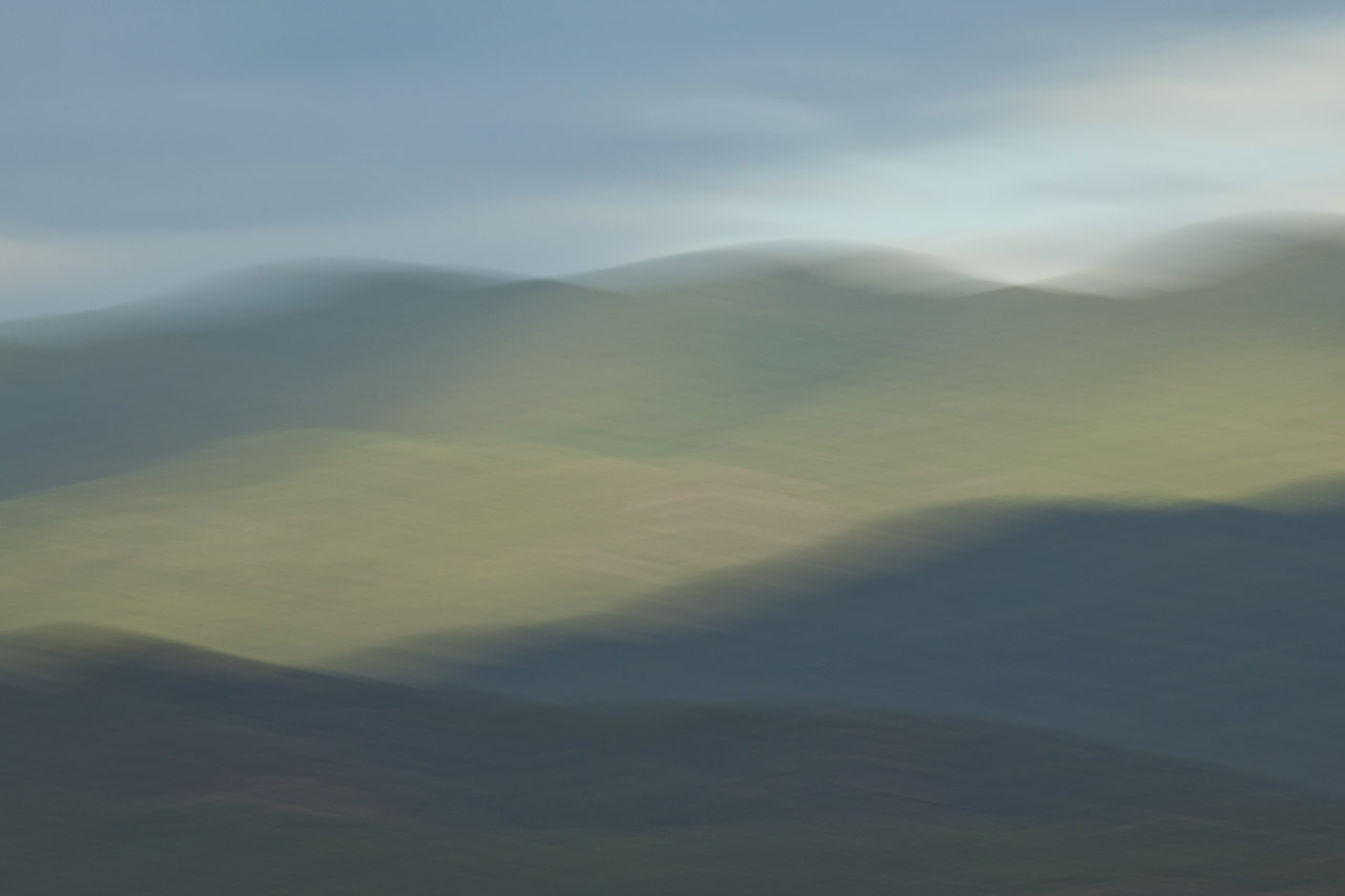
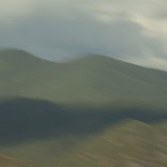
Continuing my visual explorations just north of Santa Fe, as the weather turns, the contrast of light, clouds and first snow intensifies against the 12,000′ Sangre de Cristo mountain ridge that surrounds New Mexico’s 4th highest peak, Santa Fe Baldy.
In turn, this further reduction of my blended elements to three emphasizes how I see and interpret this landscape.


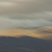
2013
I’m now half-way through introducing the results of my visual exploration of the 12,000′ Sangre de Cristo mountain ridge clustered around Santa Fe Baldy, New Mexico’s 4th highest peak, just north of Santa Fe.
Reducing the variables in each image – shooting from the same location, and at nearly the same time – reveals not only what I am seeing, but how I am seeing. Blending my motion-strokes against the mountain tops emphasizes the light’s particular hue, and how that hue casts upon Santa Fe Baldy.
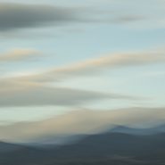
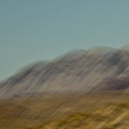
2013
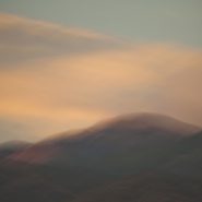
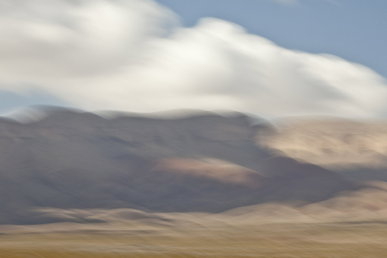
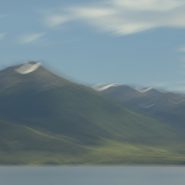
This is the fifth of ten successive explorations of light’s effect on the Santa Fe Baldy portion of the Sangre de Cristo mountain range, just north of Santa Fe. At 12,632′ elevation, Santa Fe Baldy is especially susceptible to ‛nearly last light,’ particularly when nearby clouds take on hues that compliment the mountain peak.


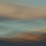
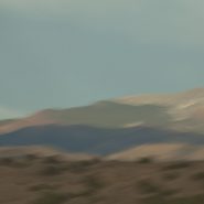
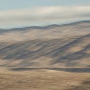
2013
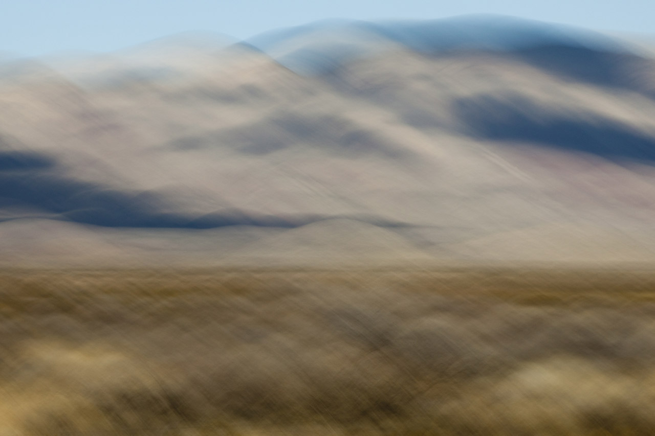
The fourth of ten successive explorations of the Santa Fe Baldy portion of the Sangre de Cristo range, just north of Santa Fe.


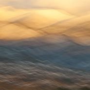
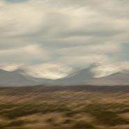
2013
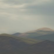
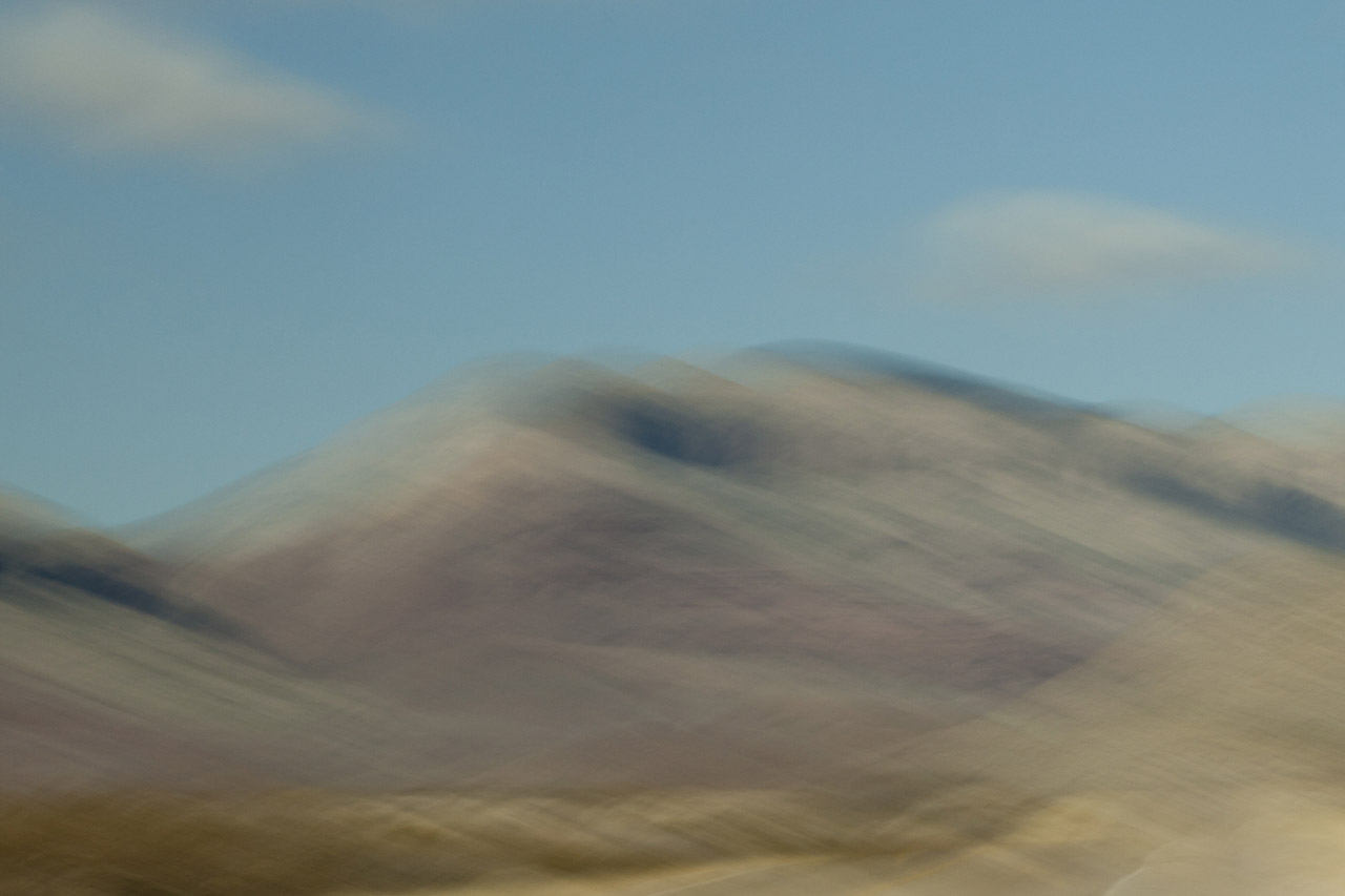
This is the third of my ten successive explorations of the Santa Fe Baldy portion of the Sangre de Cristo range, just north of Santa Fe. Captured with slightly earlier afternoon light, filtered with some cloud cover, the lower contrast of these images offers a closer examination of the blended hues of the foothills against the ridge lines.


2013
Returning for the second time to my “new best” vantage point, just north of Santa Fe, to capture the Sangres surrounding Santa Fe Baldy, New Mexico’s 4th highest peak, this time at early light; “my ridge” first presents the sun breaking behind the peaks, before lighting up the early clouds in concert with the ridge lines.
I’m expecting that this extended exploration of the light’s effect on this same section of the Sangre peaks will provide me a narrow comparative study which I have not attempted before.


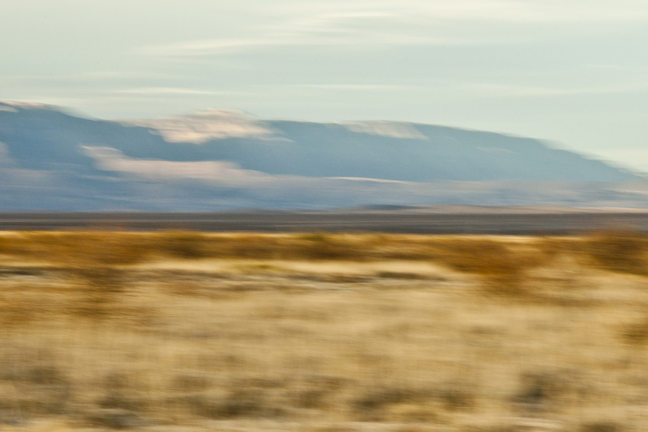
2013
Santa Fe, New Mexico’s capitol, lies along the western edge of the Sangre de Cristo (Spanish for Blood of Christ) Mountain Range, which is the most southern subrange of the Rocky Mountains. Twenty miles west of Santa Fe is the Jemez Mountain Range, with the Río Grande flowing south between the two…
Less than 20 miles north of Santa Fe is a stretch of the Sangres that includes the third and fourth highest mountains in New Mexico: Truchas Peak (13,108′) and Santa Fe Baldy (12,632′). With this section of the Sangres so close to Santa Fe and so visually accessible, I decided to do an extended study of the setting sun’s effect on these peaks during the spring and summer of 2013. My light exploration was optimally accessed by a ridge five miles west, which placed me at the upper edge of the foothills.
This vantage point allowed me to concentrate on the elements of this mountainous landscape — light, shadow, and form — while enabling me to blend these elements with the foothills, the peaks, and the sky in various combinations.
Each of the successive permutations also reflects a single capture spanning no more than an hour of New Mexico’s last light.


2013
Taos and Santa Fe are both situated in north central New Mexico along the western edge of the Sangre de Cristo (Spanish for Blood of Christ) Mountain Range, which comprises the most southern subrange of the Rocky Mountains. Lying just east of the Rio Grande, both towns are at about 7,000′ elevation.
Santa Fe (69,000 pop.), New Mexico’s state capitol, is located 50 miles north of Albuquerque, with Taos (5,700 pop.) situated 70 miles further north..
The third and fourth highest mountains in New Mexico, 20 miles north of Santa Fe, are Truchas Peak (13,108′), and Santa Fe Baldy (12,632′), while immediately north of Taos, New Mexico’s two highest mountains are Wheeler Peak (13,167′), and Mount Walter (13,133′).


2013
Situated in New Mexico’s Tularosa Basin, between two 8-9,000′ mountain ranges — the San Andres Mountains to the west and Sacramento Mountains to the east —White Sands, unlike most desert sands made of quartz, is composed of gypsum and calcium sulfate. Unlike sand found on most beaches, white sand is cool to the touch, due to the high rate of evaporation of surface moisture and the fact that the sand reflects rather than absorbs the sun’s rays. At an average 4,000′ elevation, the estimated 275 square miles of White Sands’ dune fields is known as the world’s largest surface deposit of gypsum.
Equally fascinating is how low-angled winter light casts diverse color onto the bright white gypsum sand. Shadowed low and flat light casts blue when shooting west toward last light, while early light casts an orange glow on the gypsum sand.
This is my third visit to White Sands. Each time I see it differently, and each time I come away with images that greatly excite me. A little over a year ago I hung a show at Las Cruces Museum, eleven images from my three visits including three from this series.


2013
The lovely Christmas Mountains run east-west, just north of Big Bend National Park. Their highest peak is 5,728′. The Chihuahuan Desert’s blended colored texture provides a perfect platform for the Christmas Mountains’ distant march. Then, farther east and slightly south, just inside Big Bend National Park, I encountered the wonderfully contrasting Rosillos Peak.
How scale alters texture, and color!


2013
Stretching over 1,000 miles, the Rio Grande/Rio Bravo forms the international boundary between the United States and Mexico. Named for the southernmost 118 mile U-shaped bend in the Rio Grande, Big Bend National Park’s 1,250 sq. miles means it is larger than the state of Rhode Island.
Lying in a southwest – northeast axis, the 20 mile long Chisos Mountain range is the furthest southern mountain range in the U.S. Its 7,835′ Emory Peak is the highest of its four peaks that exceed 7,000′.
The Chisos Mountains, initially amongst a surrounding lowland formed some 66 million years ago, was uplifted 30 million years later. Followed by very active volcanism, the high basalt content offers a wide range of beautifully subtle hued formations.
I found I just couldn’t resist the texture, color and shape of the Chisos Mountains basalt formations…


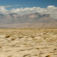
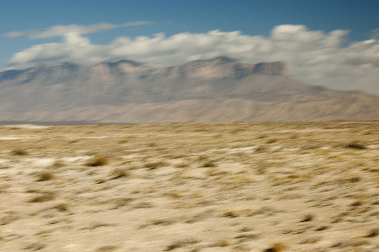
2013
Heading south from Carlsbad Caverns across New Mexico’s southern border with Texas, along side Guadalupe National Park’s 8,749′ Guadalupe Mountain, the highest point in Texas stands stark against the flat landscape of the Chihuahuan Desert .
250 million years ago, all of the continents were joined together forming the supercontinent Pangea, which was surrounded by a great ocean. Of the three arms of The Permian Basin – the Marfa, Delaware and Midland basins – the Delaware Basin contained the Delaware Sea over what is now Western Texas and Southeastern New Mexico.
170 million years later, tectonic compression along the western margin of North America caused the region encompassing west Texas and southern New Mexico to slowly uplift. Then 60 million years later a transition in tectonic events initiated the formation of steep faults along the western side of the Delaware Basin. Movement along these faults forced a long-buried portion of the Capitan Reef to rise several thousand more feet. Erosion uncovered the more resistant fossil reef forming the modern Guadalupe Mountains, which now tower above the desert floor as it once loomed over the floor of the Delaware Sea.
Continuing south beyond the Guadalupe Mountains, TX #54 meanders between two distant lesser mountain ranges, which contrasted against the Chihuahuan Desert, reveal beautifully subtle profiles of the Sierra Diegas to the east, and the Sierra Diablos to the west. Their soft colors are further muted by deceptive distance. As a photographer, I’m forever seeking contrasts in shape, color, texture, and distance, that the sunlight’s direction will further emphasize either through highlighting color hues and/or through the creation of shadow patterns.
2012
The Sangre de Cristo (Blood of Christ) Mountain range is the southernmost subrange of the Rockies; they begin in Southern Colorado and extend south to just below Santa Fe. At the north end of town, on the Sangre’s western slope is Santa Fe Mountain, whose west face is covered with very large Aspen stands.
Native to cold regions with cool summers at altitudes above 5,000 feet, aspens are medium-sized deciduous trees reaching as high as 100′. They generally grow in large colonies derived from a single seedling and spread by means of root suckers whose new stems may appear more than 100 feet from the parent tree. While each individual tree can live for 40 to 150 years, they send up new trunks as the older trunks die off above ground, so their root systems are long-lived, in some cases for thousands of years, which is why aspen stands are considered to be ancient woodlands.
Come the end of September through mid-October, the west face of Santa Fe Mountain lights up as the Aspen leaves turn their beautiful, riotous, yellow. Illuminated by the lower angle of fall sunsets, the light is just magical.


Read More
2012
Jutting south 150 miles from the southern coast of Alaska, the Kenai Peninsula – derived from Kenayskaya, the Russian name for Cook Inlet — is separated from the mainland on the west by Cook Inlet, and on the east by Prince William Sound. Athabaskan and Alutiiq Native groups have lived on the peninsula for thousands of years.
The glacier-covered 7,000′ high Kenai Mountains run down the southeast spine of the peninsula along the coast of the Gulf of Alaska. Kenai Peninsula’s two principal towns are Seward, located on the east coast on the Gulf of Alaska, while Homer, situated on Kachemak Bay, lies along Cook Inlet on the peninsula’s west side.
As the glaciers recede on the Kenai Mountains, various stages of gradual re-growth of these denuded mountains provide classic views of very gradual stages of faint green.
After two days of completely socked-in weather in and around Seward, we drove back north, then west across the peninsula, where the weather broke for about a half day, as we headed south allowing visibility along Cook Inlet, Kachemak Bay, and the town of Homer.
With the weather forecasts now calling for continuous clouds for at least another week, we departed Homer and headed back to Anchorage and boarded a return flight to New Mexico a week early.


2012
The Chugatch Mountain Range is the most northern of the mountain ranges comprising the western edge of North America. Approximately 250 miles long by 60 miles wide, it extends from the Turnagain Arm at the north end of Cook Inlet, where it bends southeast just south of Anchorage.
Mount Marcus Baker’s 12,884′ elevation is the highest point in the Chugatch Range, which includes 9 mountains above 10,000’ elevation. Situated along the Gulf of Alaska, the very moist air generates more than 600 inches of snow annually — more than anywhere else in the world.
Driving northeast on Alaska A1 (Glenn Hiway) from Wasilla provides stunning views of the northern side of the Chugatch Range, including the Matnuska Glacier.


2012
Now that we had flown over the Peter’s Hills to the beginning of Denali’s vertical ascent, in and around this incredibly steep range, landed on and taken off from a glacier, circled the northern side of Denali, and returned the 60 miles back to Talkeetna, the challenge was to capture the entire Denali Mountain from afar. And luck was with us, as it was clear as a bell!
The Alaska Range is the highest in the world outside of Asia and the Andes. It forms a generally east-west arc with its northernmost portion in the center. Acting as a high barrier to the flow of moist air from the Gulf of Alaska northwards, The Alaska Range has some of the harshest weather in the world.


2012
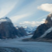
Flying in and landing on a glacier is exciting. Equipped both with wheel landing gear and with skis that can be lowered below the wheels from the cockpit, the pilot’s greatest concern is maintaining depth perception against the ice’s glare.
Ruth Glacier, Denali’s largest, appears to be an interstate, with numerous smaller glaciers feeding into it much like interchanges. Very deceptive from the air, the glacier’s center line is actually a crevice, which on larger glaciers is very wide and often extremely deep, posing much difficulty for climbers to span.
Meanwhile, Ruth Glacier is continuously sliding down the mountain at a rate of about 3 meters per year.


